Tegarayama, Himeji
Map
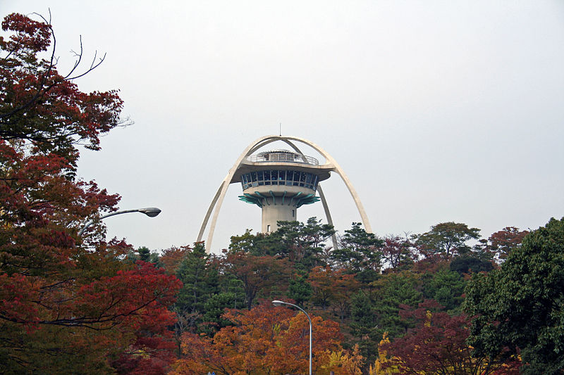
Gallery
Facts and practical information
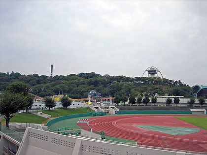
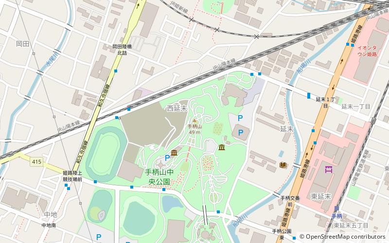
Mt. Tegara is a 50-meter-high mountain located southwest of downtown Himeji City, Hyogo Prefecture. A city road cuts through the slightly southern part of the mountain from east to west.
After World War II, the entire mountain was developed as Tegara-yama Central Park. For more information on the park and its various facilities, see Tegara-yama Central Park.
Elevation: 138 ft a.s.l.Coordinates: 34°49'23"N, 134°40'30"E
Address
Himeji
Contact
+81 79-287-3652
Social media
Add
Day trips
Tegarayama – popular in the area (distance from the attraction)
Nearby attractions include: Himeji Castle, Kōko-en, Piole, Himeji City Tegarayama Botanical Garden.
Frequently Asked Questions (FAQ)
Which popular attractions are close to Tegarayama?
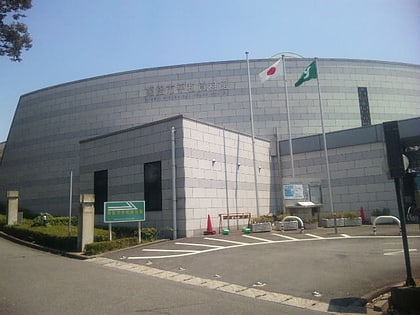
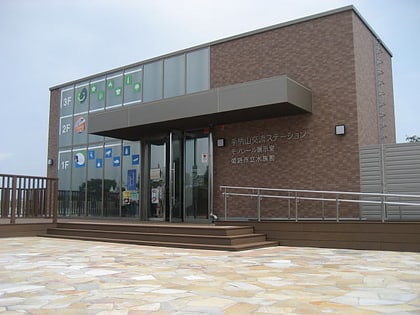
Nearby attractions include Shou bing shan jiao liusuteshon, Himeji (3 min walk), Historical Peace Center, Himeji (3 min walk), Himeji City Tegarayama Botanical Garden, Himeji (8 min walk), Hōrin-ji, Himeji (19 min walk).
How to get to Tegarayama by public transport?
The nearest stations to Tegarayama:
Bus
Train
Bus
- 姫路市民プール前 • Lines: 95, 96, 97 (5 min walk)
- 手柄山中央公園 • Lines: 97 (5 min walk)
Train
- Tegara (11 min walk)
- Kameyama (22 min walk)
