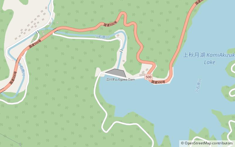
Egawa Dam
Map

Map

Facts and practical information
Egawa Dam is a dam in Asakura, Fukuoka Prefecture, Japan. The dam was completed in 1972. ()
Local name: 江川ダム Opened: 1972 (54 years ago)Length: 977 ftHeight: 260 ftReservoir area: 212.51 acres (0.332 mi²)Elevation: 692 ft a.s.l.Coordinates: 33°27'36"N, 130°44'2"E
Location
Fukuoka
Contact
+81 946-52-1428
Social media
Add
Day trips
Egawa Dam – popular in the area (distance from the attraction)
Nearby attractions include: Terauchi Dam.

