Mount Hakone, Hakone


Facts and practical information
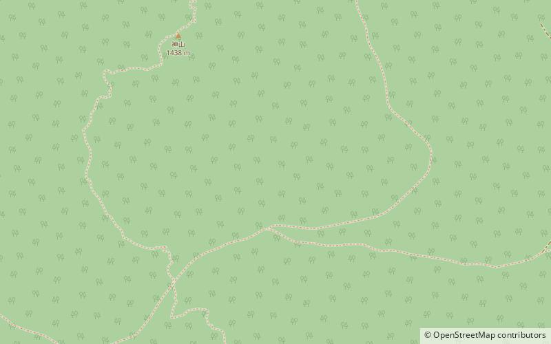
Mount Hakone is a complex volcano in Kanagawa Prefecture, Japan that is truncated by two overlapping calderas, the largest of which is 10 × 11 km wide. The calderas were formed as a result of two major explosive eruptions about 180,000 and 49,000–60,000 years ago. Lake Ashi lies between the southwestern caldera wall and a half dozen post-caldera lava domes that arose along a southwest–northeastern trend cutting through the center of the calderas. Dome growth occurred progressively to the south, and the largest and youngest of them, Kami-yama, forms the high point of Hakone. The calderas are breached to the east by the Haya-kawa canyon. Mount Ashigara is a parasitic cone. ()
箱根 (xiang gen)Hakone
Mount Hakone – popular in the area (distance from the attraction)
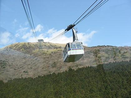
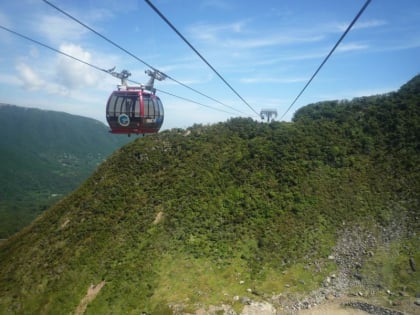
Nearby attractions include: Ōwakudani, Hakone Komagatake Ropeway, Okada Museum of Art, Hakone Ropeway.


