Yamato-Aogaki Quasi-National Park
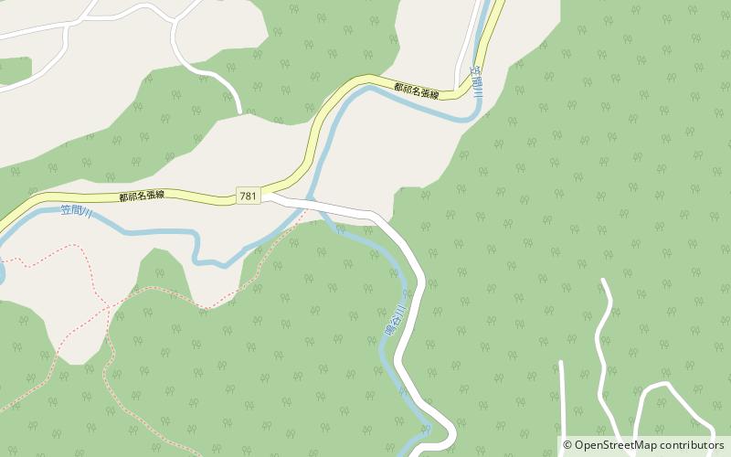
Map

Map

Facts and practical information
Yamato-Aogaki Quasi-National Park is a Quasi-National Park in northeast Nara Prefecture, Japan. Established in 1970, the park consists of one continuous area spanning the borders of the municipalities of Nara, Tenri, and Sakurai. The park encompasses Mount Miwa, Byakugō-ji, Shōryaku-ji, Enshō-ji, Kōnin-ji, Isonokami Jingū, Chōgaku-ji, Ōmiwa Jinja, and Hase-dera, as well as a number of kofun. ()
Local name: 大和青垣国定公園 Established: 28 December 1970 (55 years ago)Area: 22.17 mi²Elevation: 1437 ft a.s.l.Coordinates: 34°35'60"N, 136°0'0"E
Location
Nara
ContactAdd
Social media
Add
Day trips
Yamato-Aogaki Quasi-National Park – popular in the area (distance from the attraction)
Nearby attractions include: Hase-dera, Murō-ji, Ōno-ji, Uda.


