Tenguyama, Otaru

Gallery (1)
Map
Map
Facts and practical information
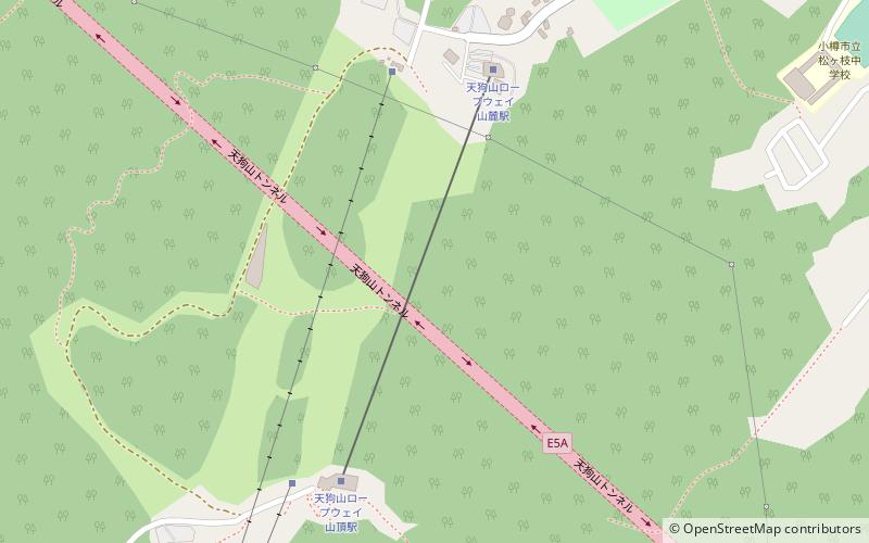
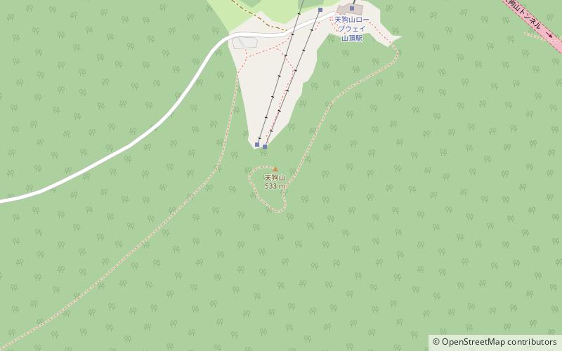
Mt. Tengu is a mountain located in Otaru City, Hokkaido, Japan. Located southwest of the city center, the Otaru Tenguyama Ropeway connects the Otaru Tenguyama Ski Resort at the foot of the mountain to a short distance below the summit. The view from the observatory, including the night view, is popular among Otaru citizens and tourists as a resort area.
It is also a place of mountain worship, with sacred pilgrimage sites, shrines, and stone monuments in the mountains modeled after the 88 temples of Shikoku.
Coordinates: 43°10'6"N, 140°58'12"E
Address
Otaru
ContactAdd
Social media
Add
Day trips