Toyono
Map

Map

Facts and practical information
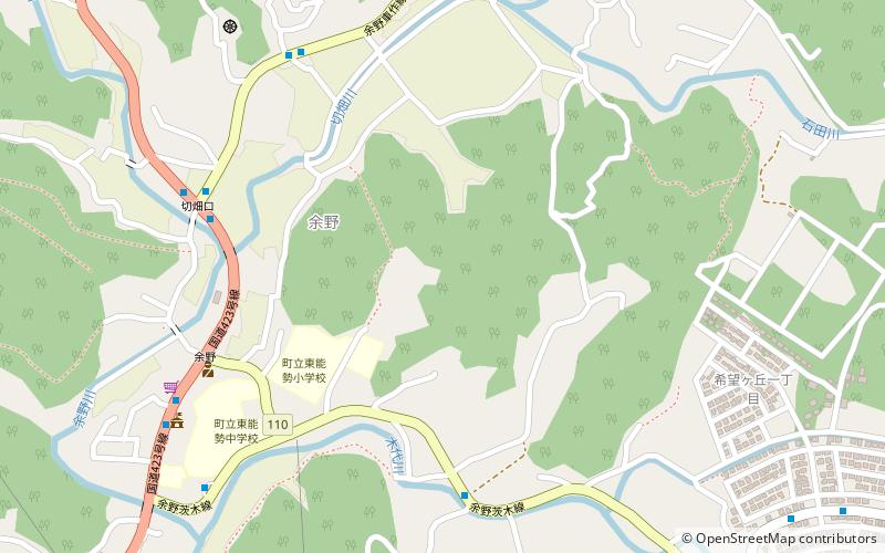
Toyono is one of the two towns in Toyono District. The town is located in the second northernmost area in Osaka Prefecture, Japan. The town is surrounded by two municipal borders to Kyoto Prefecture and Kawanishi city. The town covers the hilly and forest area in northern Osaka Prefecture. The West Block is at 200 to 300 meters high altitude, and the East and Southeast Blocks are at 400 to 600 meters high. ()
Location
Osaka
ContactAdd
Social media
Add
Day trips
Toyono – popular in the area (distance from the attraction)
Nearby attractions include: Katsuō-ji, Tada Shrine, Hitokura Dam, Imashirozuka Kofun Tumulus.


