W350 Project, Tokyo
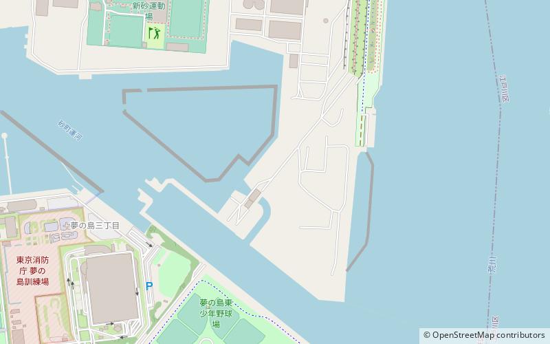
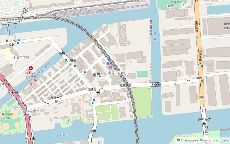
Map
Facts and practical information
The W350 Project is a proposed wooden skyscraper in central Tokyo, Japan, announced in 2018. The skyscraper is set to reach a height of 350 meters with 70 floors, which upon its completion will make it the tallest wooden skyscraper, as well as Japan's highest, over all, skyscraper. The skyscraper is set to be a mixed-used building including residential, office and retail space. ()
Address
江東区 (jiang dong qu)Tokyo
ContactAdd
Social media
Add
Getting there by public transportation
Public transportation stops near this location
- Metro
- Bus
- Train
 Metro
Metro
- Calculate route新木場東 16 min walk
- Calculate routeYumenoshima 22 min walk
- Calculate route東千石橋 24 min walk
- Calculate routeShin-Kiba 21 min walk
- Calculate routeShin-kiba 22 min walk
- Calculate routeMinami-sunamachi 30 min walk
Maps Metro
Metro
MetroDay trips


Frequently Asked Questions (FAQ)
Which popular attractions are close to W350 Project?
Nearby attractions include Yumenoshima Tropical Greenhouse Dome, Tokyo (16 min walk), Yumenoshima Park, Tokyo (18 min walk).
How to get to W350 Project by public transport?
The nearest stations to W350 Project:
Bus
Train
Metro
Bus
- 新木場東 • Lines: 木11折返, 木11甲 (16 min walk)
- Yumenoshima • Lines: 急05, 木11折返, 木11甲 (22 min walk)
Train
- Shin-Kiba (21 min walk)
Metro
- Shin-kiba • Lines: R, Y (22 min walk)
- Minami-sunamachi • Lines: T (30 min walk)