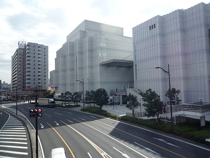
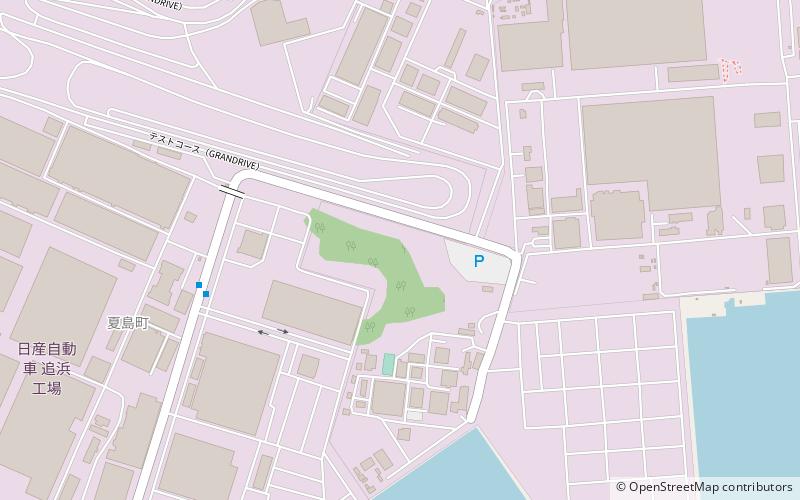
Kanazawa-ku, Yokohama
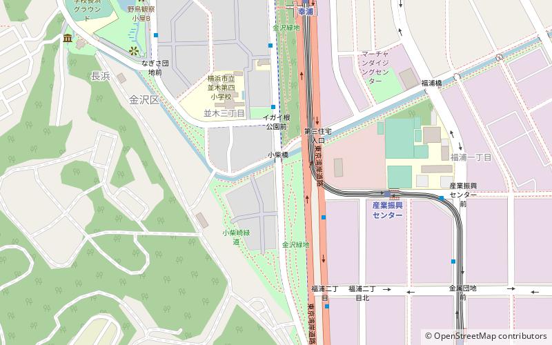
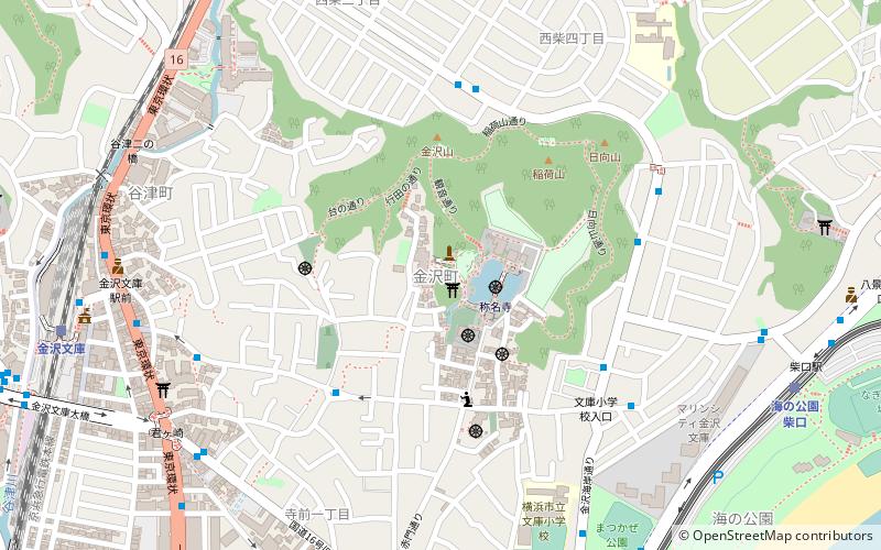
Map
Facts and practical information
Kanazawa-ku is one of the 18 wards of the city of Yokohama in Kanagawa Prefecture, Japan. As of 2010, the ward had an estimated population of 209,565 and a density of 6,760 persons per km². The total area was 31.01 km2. The ward symbol, established 1987, expresses the image of sea, waves, and a sea gull. ()
Day trips
Kanazawa-ku – popular in the area (distance from the attraction)
Nearby attractions include: Yokohama Hakkeijima Sea Paradise, Sankei-en, Yokosuka Naval Arsenal, Zuisen-ji.
Frequently Asked Questions (FAQ)
How to get to Kanazawa-ku by public transport?
The nearest stations to Kanazawa-ku:
Bus
Light rail
Train
Bus
- イガイ根公園前 • Lines: 294 (3 min walk)
- マリンハイツ前 • Lines: 294 (6 min walk)
Light rail
- Sangyoshinko Center • Lines: Sl (6 min walk)
- Sachiura • Lines: Sl (8 min walk)
Train
- Nokendai (23 min walk)
- Keikyu Tomioka (30 min walk)


