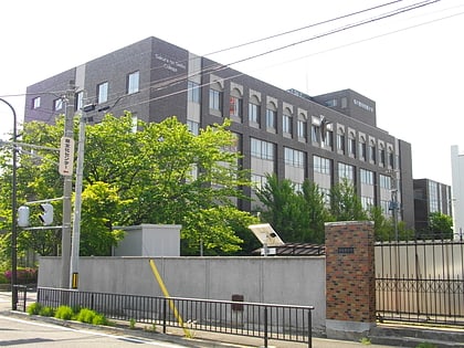
Miyawaki temple ruins, Date, Fukushima
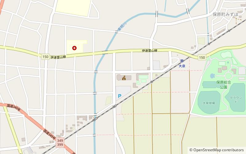
Map
Facts and practical information
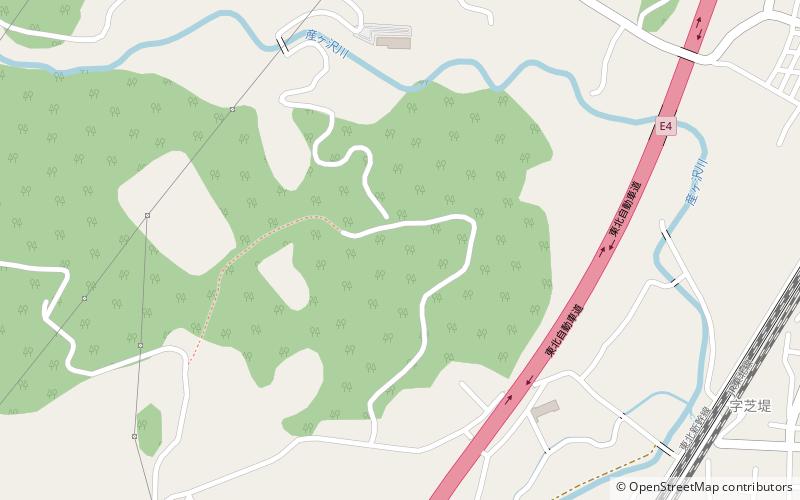
Miyawaki temple ruins is an archaeological site with the ruins of a Muromachi period Buddhist temple located in what is now the town of Date, Fukushima, Japan. The temple no longer exists, but the temple grounds were designated as a National Historic Site by the Japanese government in 2014. ()
Coordinates: 37°49'9"N, 140°33'46"E
Address
Date, Fukushima
ContactAdd
Social media
Add
Day trips
Miyawaki temple ruins – popular in the area (distance from the attraction)
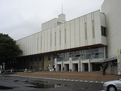
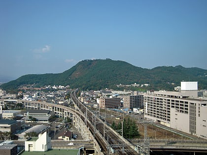
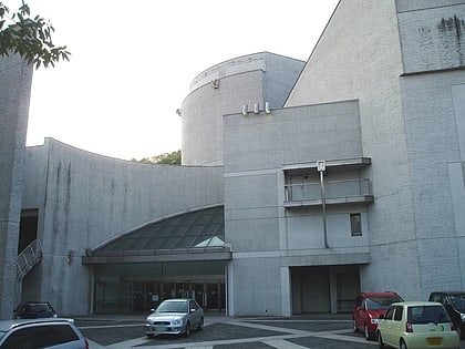
Nearby attractions include: Fukushima Race Course, Miyahata Site, Fukushima Prefectural Culture Center, Mount Shinobu.


