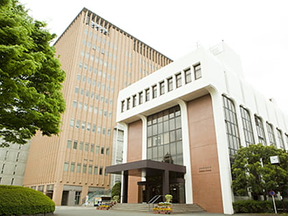
Inari-yu, Tokyo
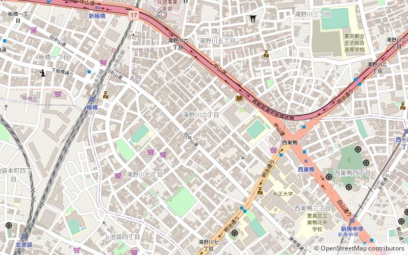
Map
Facts and practical information
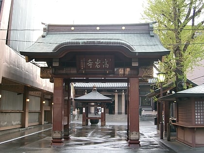
Inari-yu is a Japanese communal bathhouse in Kita, Tokyo in Japan. It was built in 1930 with traditional architecture of Japanese temples. This building was listed as a Registered Tangible Cultural Property in 2019. It was the second bathhouse in Tokyo and only dozens more nationwide to be listed. ()
Coordinates: 35°44'41"N, 139°43'28"E
Address
北区 (bei qu)Tokyo
ContactAdd
Social media
Add
Day trips
Inari-yu – popular in the area (distance from the attraction)
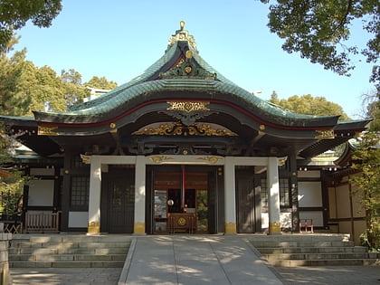
Nearby attractions include: Namjatown, Otome Road, Ancient Orient Museum, Oji Shrine.
Frequently Asked Questions (FAQ)
Which popular attractions are close to Inari-yu?
Nearby attractions include Kitaku Central Park, Tokyo (17 min walk), Sugamo, Tokyo (17 min walk), Tokyo Kasei University, Tokyo (19 min walk), Kita, Tokyo (23 min walk).
How to get to Inari-yu by public transport?
The nearest stations to Inari-yu:
Bus
Metro
Train
Tram
Bus
- Nishisugamo • Lines: 王40出入, 王40甲, 王55, 草63, 草63-2, 草64 (6 min walk)
- Horiwari • Lines: 王40出入, 王40甲, 王55, 草63, 草63-2, 草64 (6 min walk)
Metro
- Nishi-sugamo • Lines: I (7 min walk)
- Shin-itabashi • Lines: I (10 min walk)
Train
- Itabashi (7 min walk)
- Kita-ikebukuro (13 min walk)
Tram
- Shin-koshinzuka • Lines: Sa (11 min walk)
- Koshinzuka • Lines: Sa (12 min walk)
 Metro
Metro