Nagaoka-kyō, Kyoto
Map

Map

Facts and practical information
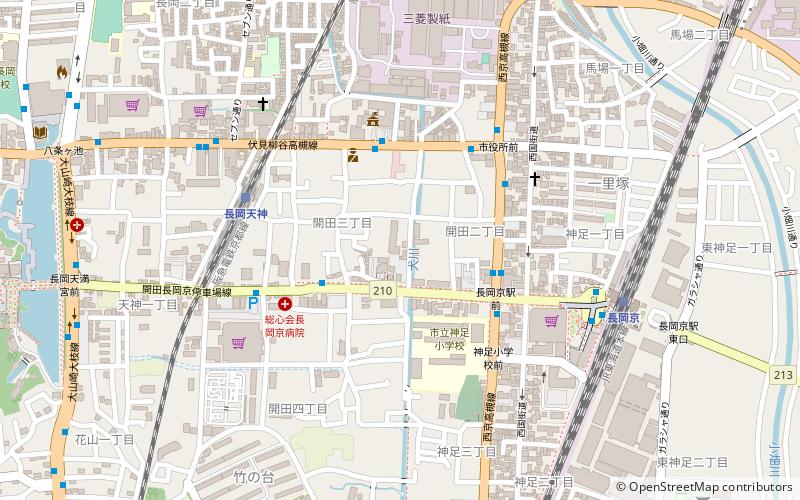
Nagaoka-kyō was the capital of Japan from 784 to 794. Its location was reported as Otokuni District, Yamashiro Province, and Nagaokakyō, Kyoto, which took its name from the capital. Parts of the capital were in what is now the city of Nagaokakyō, while other parts were in the present-day Mukō and Nishikyō-ku, the latter of which belongs to the city of Kyoto. ()
Address
Kyoto
ContactAdd
Social media
Add
Day trips
Nagaoka-kyō – popular in the area (distance from the attraction)
Nearby attractions include: Iwashimizu Hachimangū, Minase Shrine, Yoshimine-dera, Ōharano Shrine.
Frequently Asked Questions (FAQ)
Which popular attractions are close to Nagaoka-kyō?
Nearby attractions include Nagaokakyō, Kyoto (4 min walk), Shōryūji Castle, Kyoto (12 min walk).
How to get to Nagaoka-kyō by public transport?
The nearest stations to Nagaoka-kyō:
Bus
Train
Bus
- 産業文化会館前 • Lines: 長岡京はっぴいバス 北コース, 長岡京はっぴいバス 西コース (3 min walk)
- Jr駅前通り • Lines: 10, 11, 12, 20, 22, 49, 5, 6, 7, 8, 80, 82, 9, 90, 長岡京はっぴいバス 北コース, 長岡京はっぴいバス 西コース (4 min walk)
Train
- Nagaokatenjin (6 min walk)
- Nagaokakyo (8 min walk)


