Aoimori Park, Aomori
Map

Gallery

Facts and practical information
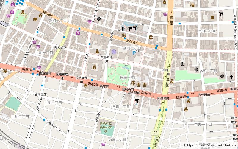
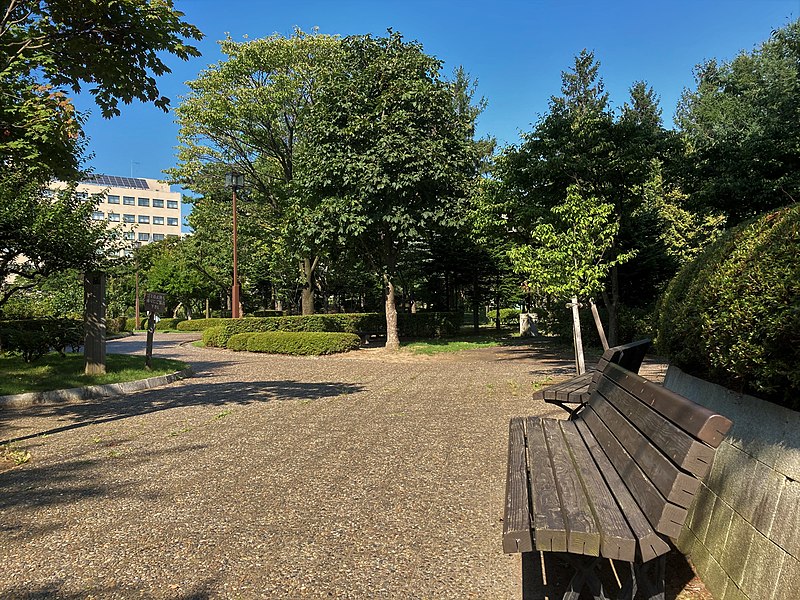
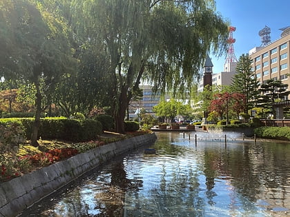
Aoimori Park is a 1.8-hectare urban park in the central district of Aomori Prefecture's capital city, Aomori in northern Japan. Acting as an urban green space in the city's dense administrative district, it features various themed landscapes. It has been maintained by the prefectural government of Aomori since its opening in 1985. It is also the official ending point for National Route 4 and National Route 7. Various monuments and markers within and near the park denote the terminus of the two highways. ()
Elevation: 20 ft a.s.l.Coordinates: 40°49'27"N, 140°44'31"E
Address
Aomori
ContactAdd
Social media
Add
Day trips
Aoimori Park – popular in the area (distance from the attraction)
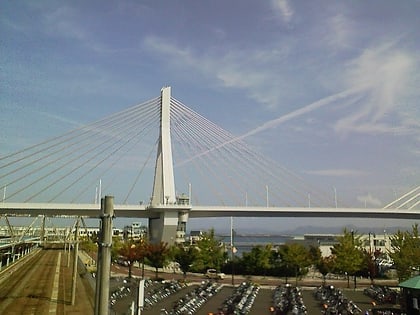
Nearby attractions include: Nebuta Museum Wa Rasse, Aomori City Forestry Museum, Aomori Bay Bridge, Munakata Shiko Memorial Museum of Art.
Frequently Asked Questions (FAQ)
Which popular attractions are close to Aoimori Park?
Nearby attractions include Aomori Prefecture Tourist Center, Aomori (10 min walk), Aomori Prefectural Museum, Aomori (11 min walk), Nebuta Museum Wa Rasse, Aomori (13 min walk), Aomori Bay Bridge, Aomori (13 min walk).
How to get to Aoimori Park by public transport?
The nearest stations to Aoimori Park:
Bus
Train
Bus
- 県庁通り • Lines: 82 (4 min walk)
- 八甲通り • Lines: 82 (5 min walk)
Train
- Aomori (15 min walk)


