Sea Forest Waterway, Tokyo

Gallery (2)
Map
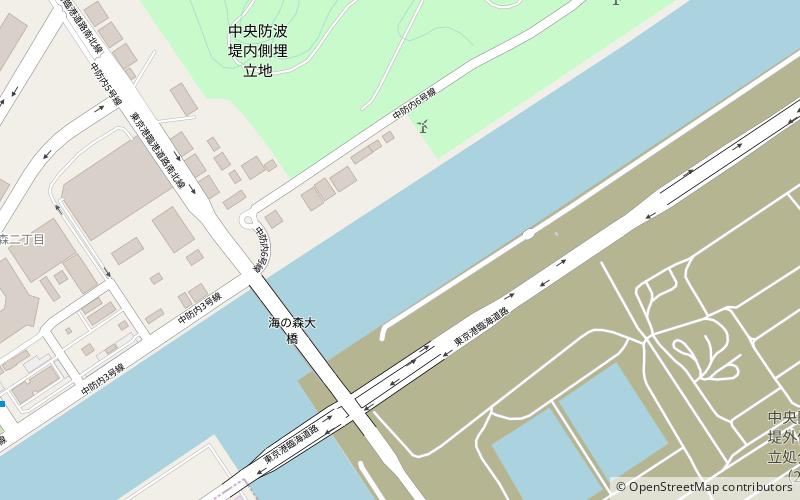
Map
Gallery
Facts and practical information
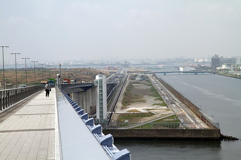
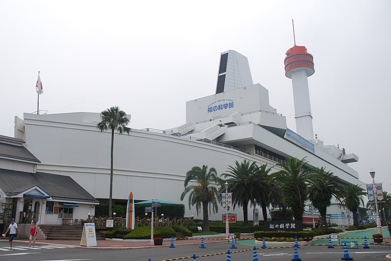
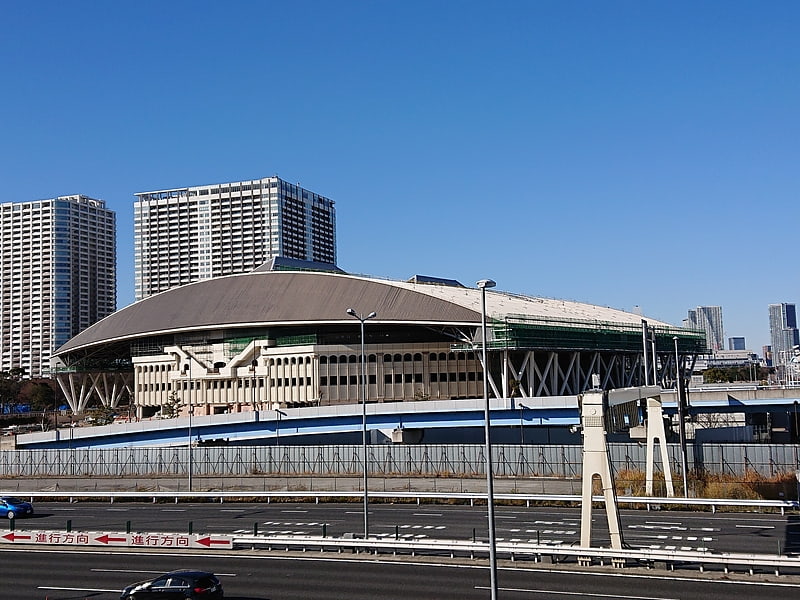
The Sea Forest Waterway is a regatta venue for rowing and canoeing, situated in Kōtō and Ōta, Tokyo Bay, in Japan. ()
Address
江東区 (jiang dong qu)Tokyo
ContactAdd
Social media
Add
Getting there by public transportation
Public transportation stops near this location
- Bus
- Ferry
 Bus
Bus
- Calculate route環境局中防合同庁舎前 14 min walk
- Calculate route中央防波堤 15 min walk
- Calculate route東京 31 min walk
Maps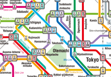 Metro
Metro
MetroDay trips


Frequently Asked Questions (FAQ)
How to get to Sea Forest Waterway by public transport?
The nearest stations to Sea Forest Waterway:
Bus
Ferry
Bus
- 環境局中防合同庁舎前 • Lines: 波01(Nm01) (14 min walk)
- 中央防波堤 • Lines: 波01(Nm01) (15 min walk)
Ferry
- 東京 • Lines: オーシャン東九フェリー(東京―徳島―北九州) (31 min walk)