Tsugaru Mountains

Map
Facts and practical information
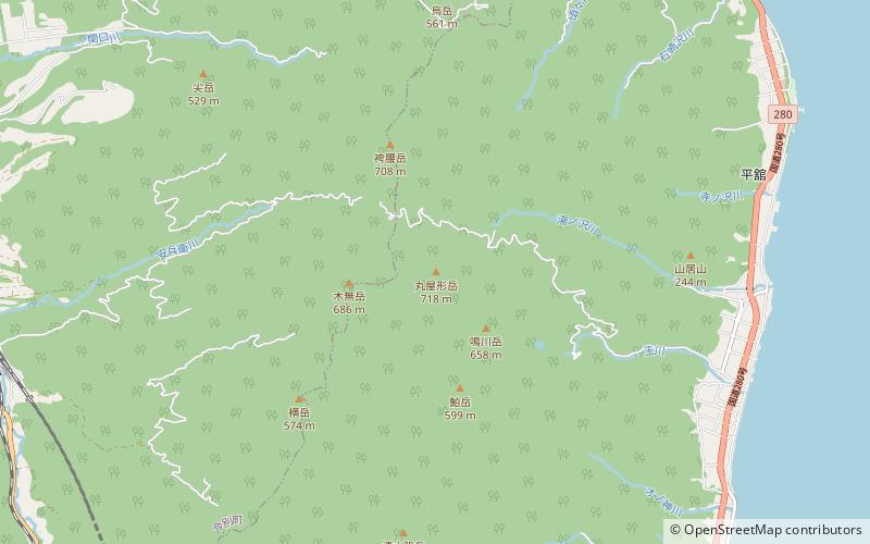
The Tsugaru Mountains are a mountain range on the Tsugaru Peninsula of Aomori Prefecture, in Honshū, Japan. The range stretches 60 km south-southeast from Cape Tappi on the northern end of the peninsula to the western flank of the volcanic Hakkōda Mountains south of the city of Aomori. The highest point in the range is Mount Maruyakata, measuring 718 meters. ()
Location
Aomori
ContactAdd
Social media
Add
Day trips
Tsugaru Mountains – popular in the area (distance from the attraction)
Nearby attractions include: Imabetsu.
