Taihaku-ku, Sendai
Map

Map

Facts and practical information
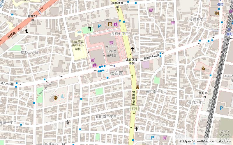
Taihaku-ku is the southernmost ward of the city Sendai, in Miyagi Prefecture, Japan. As of 1 April 2017, the ward had a population of 226,069 and a population density of 1470 persons per km2 in 102,728 households. The total area of the ward was 228.39 square kilometres. Taihaku-ku is eleventh largest ward in Japan in terms of area, and second-largest in Sendai. The western portion of the ward is the former town of Akiu, Miyagi. ()
Address
Sendai
ContactAdd
Social media
Add
Day trips
Taihaku-ku – popular in the area (distance from the attraction)
Nearby attractions include: Sendai City Tomizawa Site Museum, Xebio Arena Sendai, Sendai Kōriyama Kanga ruins, Kamei Arena Sendai.
Frequently Asked Questions (FAQ)
Which popular attractions are close to Taihaku-ku?
Nearby attractions include Sendai City Tomizawa Site Museum, Sendai (8 min walk), Sendai Kōriyama Kanga ruins, Sendai (22 min walk).
How to get to Taihaku-ku by public transport?
The nearest stations to Taihaku-ku:
Metro
Bus
Train
Metro
- Nagamachi-Minami • Lines: 仙台市南北線 (Sendai Namboku Line) (1 min walk)
- Tomizawa • Lines: 仙台市南北線 (Sendai Namboku Line) (20 min walk)
Bus
- 仙台市交通局長町営業所 (11 min walk)
Train
- Nagamachi (13 min walk)
- Taishido (15 min walk)


