Minami-Saitama District, Shiraoka
#2 among attractions in Shiraoka
Facts and practical information
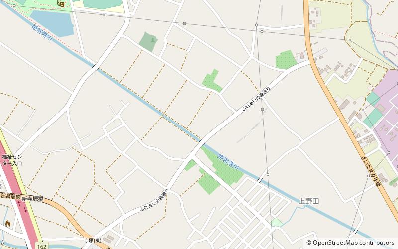
Minami-Saitama is a district located in Saitama Prefecture, Japan. ()
Shiraoka Japan
Minami-Saitama District – popular in the area (distance from the attraction)
Nearby attractions include: Tobu Zoo, Washinomiya Shrine, Iwatsuki Castle, Ageo.
 Theme park, Amusement park, Zoo
Tobu Zoo, Kasukabe
46 min walk • Tobu Zoo is a combination of a zoo and an amusement park located in Miyashiro, Saitama Prefecture, Japan.
 Sacred and religious sites, Temple
Washinomiya Shrine, Kuki
135 min walk • Washinomiya Shrine is one of the oldest Shintō shrines in the Kantō region, located in Kuki, Saitama, Japan.
 Forts and castles
Iwatsuki Castle, Kasukabe
138 min walk • Iwatsuki Castle is a Japanese castle located in Iwatsuki-ku, Saitama, in Saitama Prefecture, Japan. At the end of the Edo period, Tateyama Castle was home to the Ōoka clan, daimyō of Iwatsuki Domain, however the castle dates from the Muromachi period and was inhabited by many samurai lords over its history.
 Area
AreaAgeo, Saitama
185 min walk • Ageo is a city located in Saitama Prefecture, Japan. As of 1 January 2021, the city had an estimated population of 229,517 in 103,709 households and a population density of 5000 persons per km². The total area of the city is 45.51 square kilometres.
 Tower
TowerShobu-Kuki transmitter, Kuki
115 min walk • The Shōbu-Kuki transmitter is located in Kuki, Saitama. It is the largest centre for medium wave and short wave broadcasting in Japan.
 City, Area
Satte, Kuki
97 min walk • Satte is a city located in Saitama Prefecture, Japan. As of 1 January 2021, the city had an estimated population of 50,256 in 22,853 households and a population density of 1500 persons per km². The total area of the city is 33.93 square kilometres.
 Town, Area
Miyashiro, Kasukabe
58 min walk • Miyashiro is a town located in Saitama Prefecture, Japan. As of 1 March 2021, the town had an estimated population of 33,823 in 15,234 households and a population density of 2100 persons per km². The total area of the town is 15.95 square kilometres.
 Town, Area
Sugito, Kasukabe
73 min walk • Sugito is a town located in Saitama Prefecture, Japan. As of 1 March 2021, the town had an estimated population of 44,402 in 19,409 households and a population density of 1500 persons per km². The total area of the town is 30.03 square kilometres.
 Town, Area
Ina, Saitama
103 min walk • Ina is a town in Saitama Prefecture, Japan. As of 1 March 2021, the town had an estimated population of 44,928 in 18,907 households and a population density of 3000 persons per km². The total area of the town is 30.03 square kilometres.
 City, Area
Hasuda, Saitama
68 min walk • Hasuda is a city located in Saitama Prefecture, Japan. As of 1 January 2021, the city had an estimated population of 61,540 in 27,461 households and a population density of 2300 persons per km². The total area of the city is 27.28 square kilometres.
 Museum
Sekiyado Castle
188 min walk • Sekiyado Castle is a Japanese castle located in Noda, northwestern Chiba Prefecture, Japan. At the end of the Edo period, Sekiyado Castle was home to the Kuse clan, daimyō of Sekiyado Domain.


