Tenpaku-ku, Nagoya
Gallery (2)
Map
Map
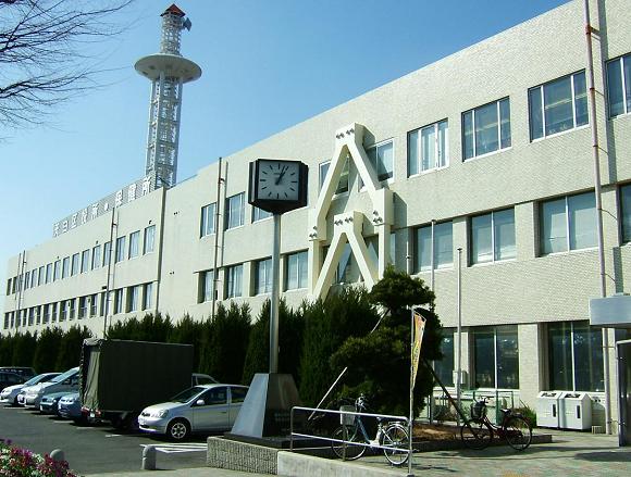
Gallery
Facts and practical information
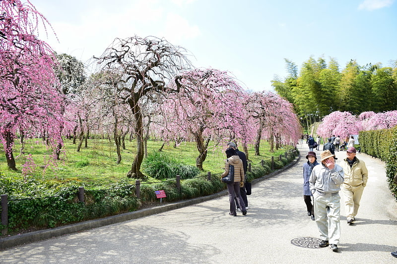
Tenpaku is one of the 16 wards of the city of Nagoya in Aichi Prefecture, Japan. As of 1 October 2019, the ward had an estimated population of 164,522, and a population density of 7,624 persons per km². The total area was 21.58 square kilometres. ()
Address
天白区 (tian bai qu)Nagoya
ContactAdd
Social media
Add
Getting there by public transportation
Public transportation stops near this location
- Metro
 Metro
Metro
- Calculate routeShiogama-guchi 19 min walk
- Calculate routeUeda 22 min walk
- Calculate routeYagoto 31 min walk
Day trips


Frequently Asked Questions (FAQ)
How to get to Tenpaku-ku by public transport?
The nearest stations to Tenpaku-ku:
Metro
Metro
- Shiogama-guchi • Lines: T (19 min walk)
- Ueda • Lines: T (22 min walk)