Shikoku Saburo Bridge, Tokushima

Gallery (1)
Map
Map
Facts and practical information
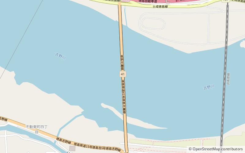
Shikoku Saburo Bridge is a bridge in Tokushima Prefecture, Shikoku that spans the Yoshino River. It joins Ojin-cho on the north of the river to Fudouhigashi-cho on the south of the river. The Bridge is 910.5 metres in length and 14 metres in width, with a two-lane highway running atop. The bridge was opened to the public in 1998. ()
Address
Tokushima
ContactAdd
Social media
Add
Getting there by public transportation
Public transportation stops near this location
- Train
 Train
Train
- Calculate routeYoshinari 32 min walk
Day trips


Frequently Asked Questions (FAQ)
How to get to Shikoku Saburo Bridge by public transport?
The nearest stations to Shikoku Saburo Bridge:
Train
Train
- Yoshinari (32 min walk)