Mount Osorakan, Nishi-Chugoku Sanchi Quasi-National Park

Gallery (1)
Map
Map
Facts and practical information
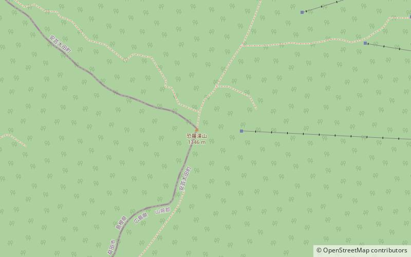
Mount Osorakan is a mountain on the border of Akitakata, Hiroshima Prefecture, and Masuda, Shimane Prefecture, Japan. Situated inside the Nishi-Chugoku Sanchi Quasi-National Park, the mountain is the tallest of both Hiroshima and Shimane prefectures. ()
Address
Nishi-Chugoku Sanchi Quasi-National Park
ContactAdd
Social media
Add
Day trips


