Njoro River Cave

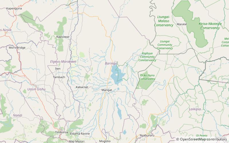
Map
Facts and practical information
Njoro River Cave is an archaeological site on the Mau Escarpment, Kenya, that was first excavated in 1938 by Mary Leakey and her husband Louis Leakey. Excavations revealed a mass cremation site created by Elmenteitan pastoralists during the Pastoral Neolithic roughly 3350-3050 BP. Excavations also uncovered pottery, beads, stone bowls, basket work, pestles and flakes. The Leakeys' excavation was one of the earliest to uncover ancient beads and tools in the area and a later investigation in 1950 was the first to use radiocarbon dating in East Africa. ()
Coordinates: 0°38'47"N, 36°3'15"E
Location
Baringo
ContactAdd
Social media
Add
Day trips
Njoro River Cave – popular in the area (distance from the attraction)
Nearby attractions include: Lake Baringo, Enkapune Ya Muto.
