Olorgesailie
Gallery (3)
Map
Map
Gallery
Facts and practical information
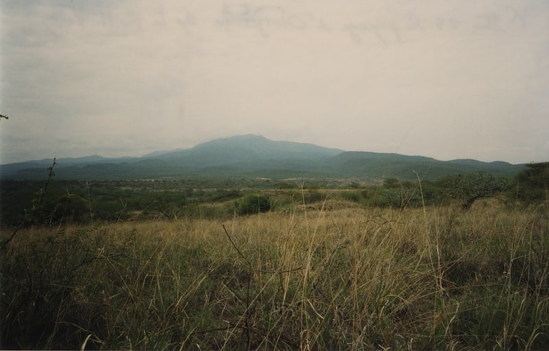
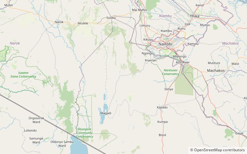
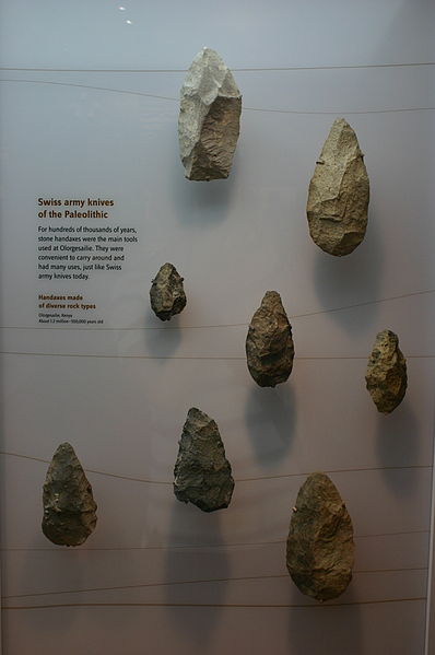
Olorgesailie is a geological formation in East Africa, on the floor of the Eastern Rift Valley in southern Kenya, 67 kilometres southwest of Nairobi along the road to Lake Magadi. It contains a group of Lower Paleolithic archaeological sites. Olorgesailie is noted for the large number of Acheulean hand axes discovered there that are associated with animal butchering. According to the National Museums of Kenya, the finds are internationally significant for archaeology, palaeontology, and geology. ()
Location
Kajiado
ContactAdd
Social media
Add