Koromojo Dam

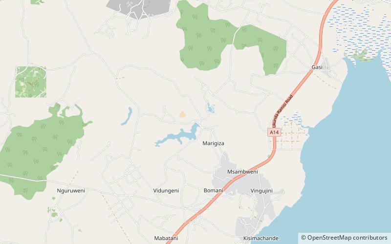
Map
Facts and practical information
The Koromojo Dam, also known as the Mwambe Dam, refers to two embankment dams on the Mwabanda River north of Msambweni in southeastern Kenya. The Upper Koromojo Dam was built in the 1920s while the Lower Koromojo Dam was completed by Associated Sugar in 1957. ()
Coordinates: 4°26'34"S, 39°27'37"E
Location
Kwale
ContactAdd
Social media
Add
Day trips
Koromojo Dam – popular in the area (distance from the attraction)
Nearby attractions include: Chale Island, Mukurumudzi Dam, Msambweni.


