Mukurumudzi Dam

Map
Facts and practical information
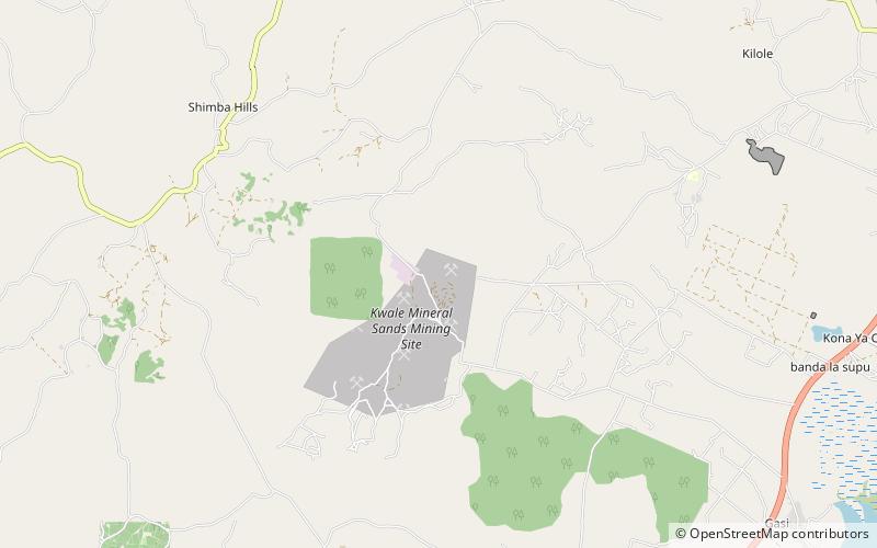
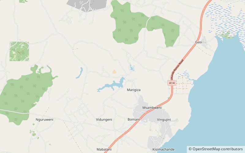
The Mukurumudzi Dam is the primary water source for the Kwale Mineral Sands Project which mines titanium and zircon minerals from the dunes in the area south of Mombasa, Kenya. The Kwale Project is operated by the Australian mining company, Base Resources, and is located 10 kilometres inland from the Kenyan coast and 50 kilometres south of Mombasa, Kenya's principal port facility. ()
Opened: 2013 (13 years ago)Coordinates: 4°23'4"S, 39°27'0"E
Location
Kwale
ContactAdd
Social media
Add
Day trips
Mukurumudzi Dam – popular in the area (distance from the attraction)
Nearby attractions include: Koromojo Dam.
