Chatyr-Kul, Chatyrkul Wildlife Refuge
Map

Map

Facts and practical information
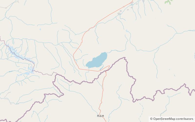
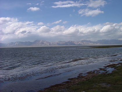
Chatyr-Köl is an endorheic alpine lake in the Tian Shan mountains in At-Bashy District of Naryn Province, Kyrgyzstan; it lies in the lower part of Chatyr-Köl Depression near the Torugart Pass border crossing into China. The name of the lake means “Celestial Lake” in Kyrgyz. ()
Local name: Чатыр–Көл Area: 69.88 mi²Length: 14.29 miWidth: 6.21 miMaximum depth: 54 ftElevation: 11568 ft a.s.l.Coordinates: 40°37'55"N, 75°17'29"E
Address
Chatyrkul Wildlife Refuge
ContactAdd
Social media
Add
