Wat Si Saket, Vientiane
Map
Gallery
Facts and practical information
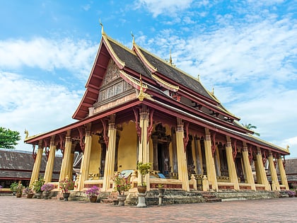
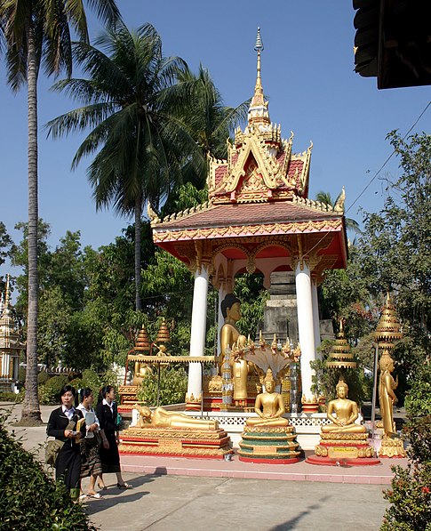
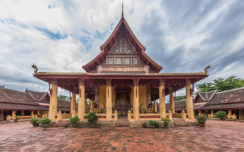
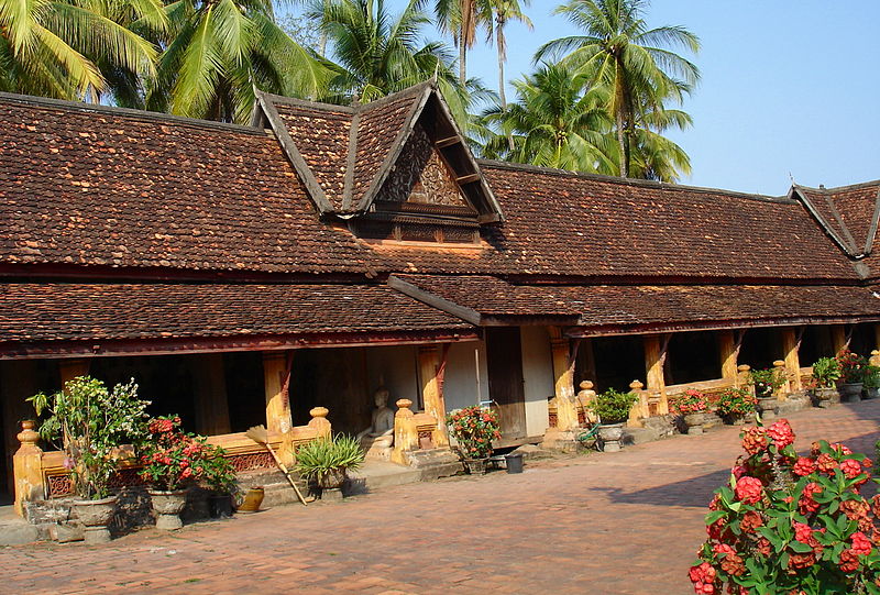
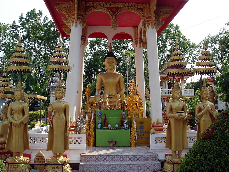
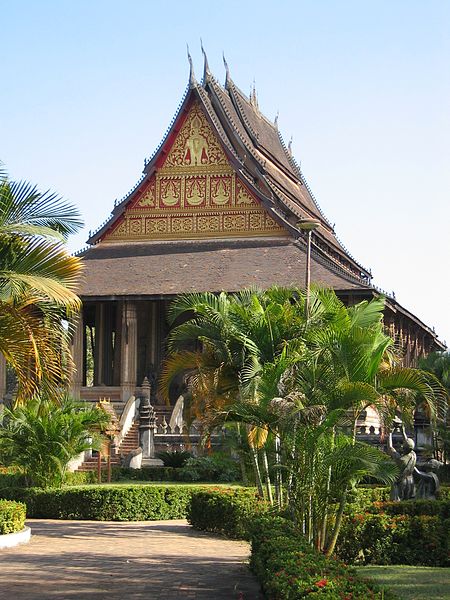
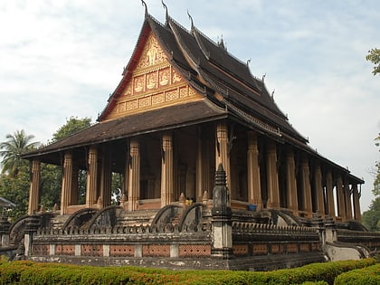
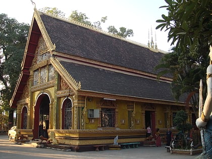
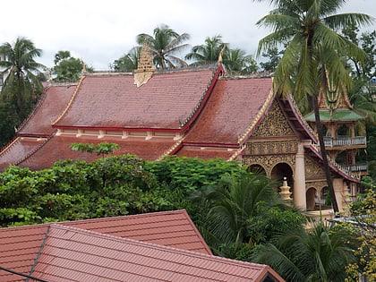
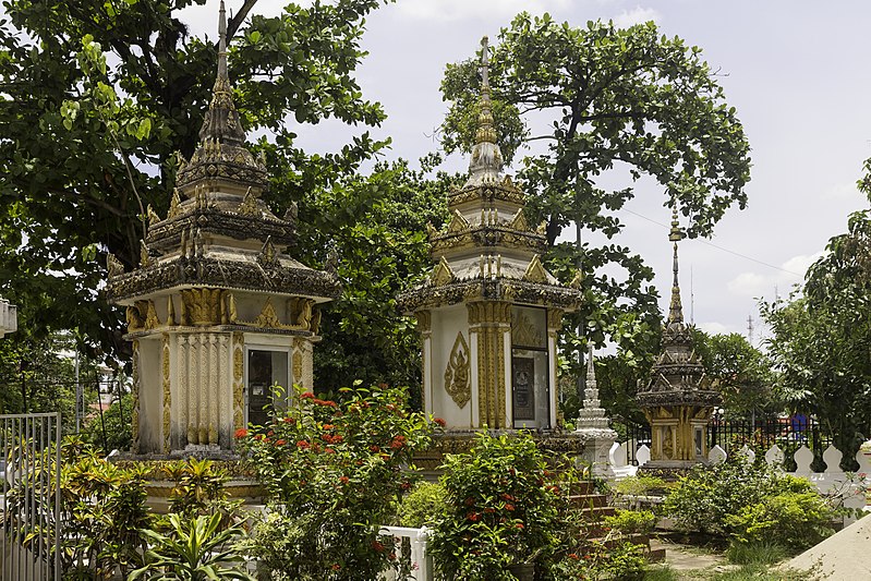
Wat Si Saket is a Buddhist wat in Vientiane, Laos. It is situated on Lan Xang Road, on the corner with Setthathirat Road, to the northwest of Haw Phra Kaew, which formerly held the Emerald Buddha. ()
Day trips
Wat Si Saket – popular in the area (distance from the attraction)
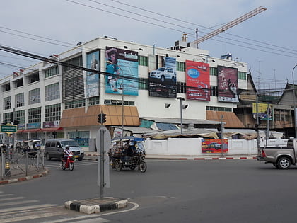
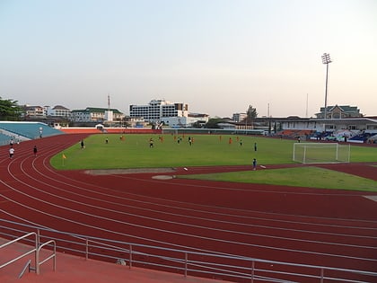
Nearby attractions include: Talat Sao Mall, Patuxai, Laos National Stadium, Presidential Palace.
Frequently Asked Questions (FAQ)
Which popular attractions are close to Wat Si Saket?
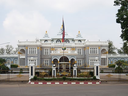
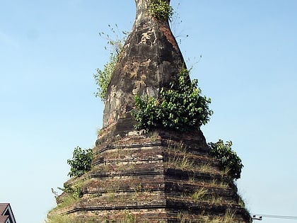
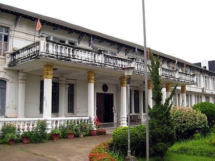
Nearby attractions include Presidential Palace, Vientiane (3 min walk), Haw Phra Kaew, Vientiane (4 min walk), That Dam, Vientiane (6 min walk), National Library of Laos, Vientiane (6 min walk).
How to get to Wat Si Saket by public transport?
The nearest stations to Wat Si Saket:
Bus
Bus
- Central Bus Station CBS-1 (8 min walk)
- Central Bus Station CBS-2 (8 min walk)
