Wat Sokpaluang, Vientiane

Gallery (1)
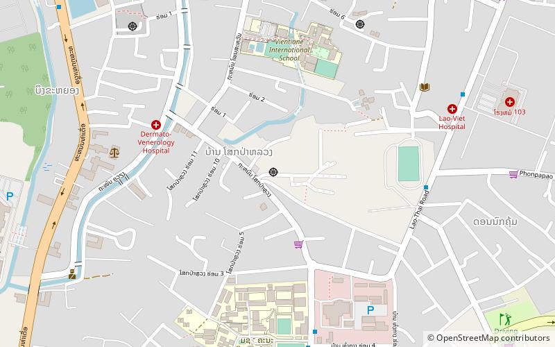
Map
Map
Facts and practical information
Wat Sokpaluang is a place located in Vientiane (Vientiane (prefecture) prefecture) and belongs to the category of temple.
It is situated at an altitude of 584 feet, and its geographical coordinates are 17°56'43"N latitude and 102°37'34"E longitude.
Planning a visit to this place, one can easily and conveniently get there by public transportation. Wat Sokpaluang is a short distance from the following public transport stations: Poly Technic College (bus, 8 min walk).
Among other places and attractions worth visiting in the area are: Wat Si Muang (temple, 28 min walk), Sacred Heart Cathedral (church, 35 min walk), Haw Phra Kaew (buddhist architecture, 37 min walk).
Coordinates: 17°56'43"N, 102°37'34"E
Address
Vientiane
ContactAdd
Social media
Add
Getting there by public transportation
Public transportation stops near this location
- Bus
 Bus
Bus
- Calculate routePoly Technic College 8 min walk
- Calculate routeFaculty of Engineering 9 min walk
- Calculate routeHospital 103 11 min walk
- Calculate routeSaphanthong Market 16 min walk
Day trips


Frequently Asked Questions (FAQ)
How to get to Wat Sokpaluang by public transport?
The nearest stations to Wat Sokpaluang:
Bus
Bus
- Poly Technic College • Lines: 32 (8 min walk)
- Faculty of Engineering • Lines: 32 (9 min walk)