Ķengaraga dīķis, Riga
Map
Map

Facts and practical information
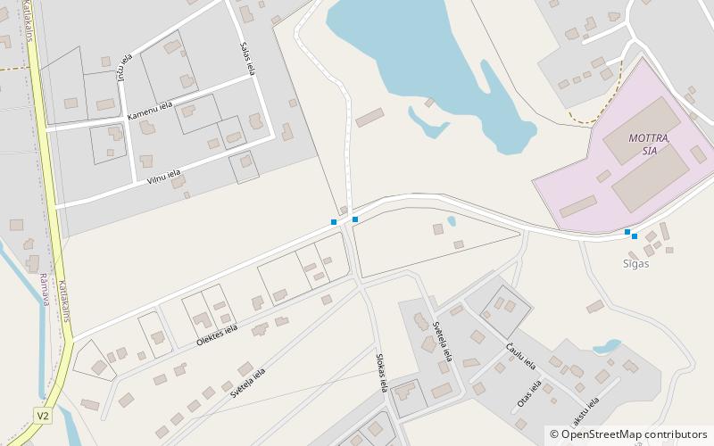
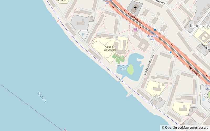
The Kengarags Pond is a body of water located near the shopping center "Ščecina" and Riga 51st high school. The pond is connected to the Daugava through the canal, which passes across the pedestrian bridge. There is a small island in the center of the pond.
Coordinates: 56°54'26"N, 24°10'47"E
Address
Latgales (Ķengarags)Riga
ContactAdd
Social media
Add
Day trips
Ķengaraga dīķis – popular in the area (distance from the attraction)
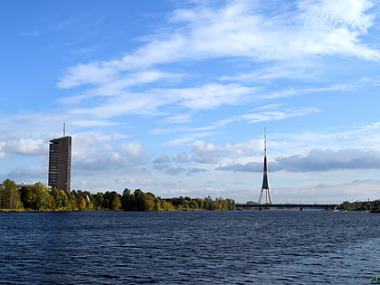
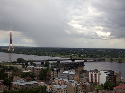
Nearby attractions include: Riga Radio and TV Tower, Island Bridge, Southern Bridge, All Saints Church.
Frequently Asked Questions (FAQ)
How to get to Ķengaraga dīķis by public transport?
The nearest stations to Ķengaraga dīķis:
Tram
Bus
Trolleybus
Train
Tram
- Malnavas iela • Lines: 3, 7 (5 min walk)
- Rušonu iela • Lines: 3, 7 (6 min walk)
Bus
- Malnavas iela • Lines: 15, 309, 31, 49 (6 min walk)
- Rušonu iela • Lines: 15, 309, 31, 49 (7 min walk)
Trolleybus
- Malnavas iela • Lines: 15 (15 min walk)
- Rušonu iela • Lines: 15 (15 min walk)
Train
- Daugmale (21 min walk)
- Jāņavārti (22 min walk)

