Jelgava District, Jelgava
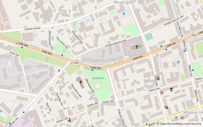
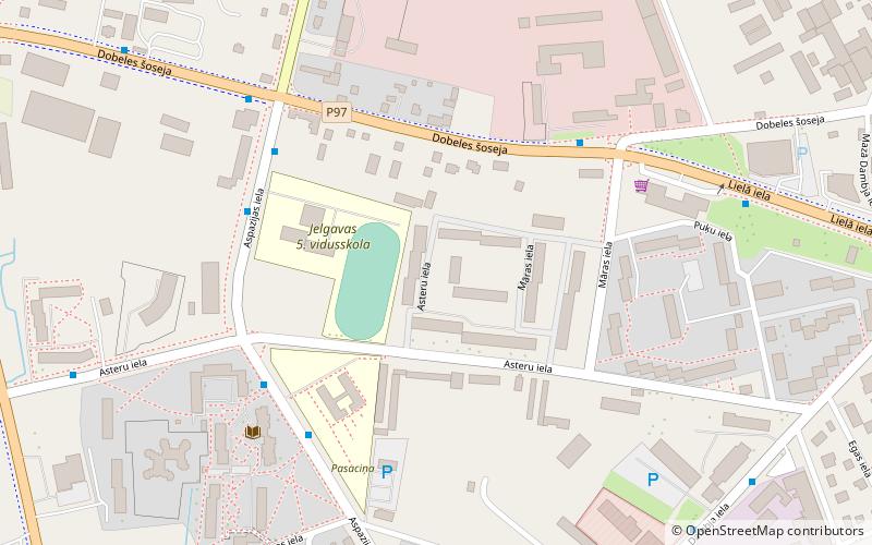
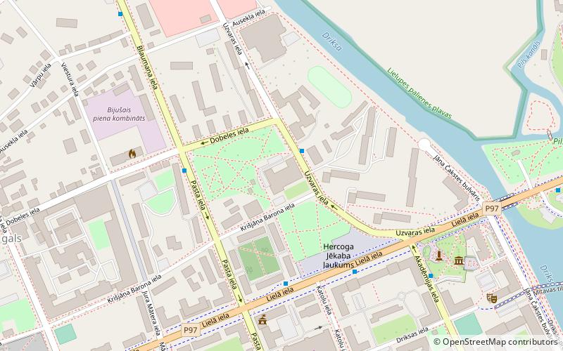
Map
Facts and practical information
Getting there by public transportation
Public transportation stops near this location
- Bus
- Train
 Bus
Bus
- Calculate routeJelgavas AO 10 min walk
- Calculate routeJelgavas autoosta 10 min walk
- Calculate routeStacijas iela 21 min walk
- Calculate routeJelgavas stacija 25 min walk
- Calculate routeJelgava 26 min walk
Day trips


Frequently Asked Questions (FAQ)
Which popular attractions are close to Jelgava District?
Nearby attractions include Ādolfa Alunāna memoriālais muzejs, Jelgava (11 min walk), Ādolfs Alunāns Theatre, Jelgava (13 min walk), Kurland Provincial Museum and Athenaeum, Jelgava (13 min walk), Cathedral of the Immaculate Virgin Mary, Jelgava (15 min walk).
How to get to Jelgava District by public transport?
The nearest stations to Jelgava District:
Bus
Train
Bus
- Jelgavas AO • Lines: 7017, 7256, 7347, 7352, 7356 (10 min walk)
- Jelgavas autoosta (10 min walk)
Train
- Jelgava (26 min walk)