Riga District, Riga
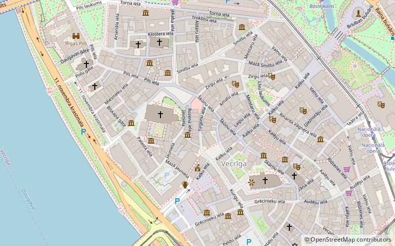
Map
Facts and practical information
Riga District was an administrative division of Latvia, located in Semigallia and Vidzeme regions, in the centre of the country. The district had the two cities of Riga and Jūrmala with the Gulf of Riga to the north. Beginning from the west and counterclockwise to the east, Riga District had Tukums, Jelgava, Bauska, Ogre, Cēsis and Limbaži former districts as neighbours. The area of the district was 3,058 km² with a population of 159,247. ()
Address
Centra (Vecpilsēta)Riga
ContactAdd
Social media
Add
Day trips
Riga District – popular in the area (distance from the attraction)
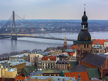
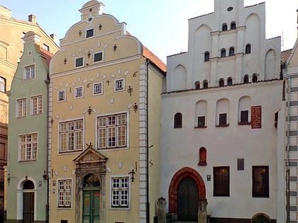
Nearby attractions include: St. Peter's Church, Triangula Bastion, Museum of the History of Riga and Navigation, Riga Cathedral pipe organ.
Frequently Asked Questions (FAQ)
Which popular attractions are close to Riga District?
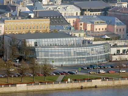
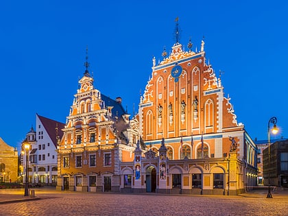
Nearby attractions include Freeport of Riga, Riga (1 min walk), Small Guild, Riga (1 min walk), Riga Cathedral pipe organ, Riga (2 min walk), Riga Cathedral, Riga (3 min walk).
How to get to Riga District by public transport?
The nearest stations to Riga District:
Trolleybus
Bus
Tram
Train
Trolleybus
- Grēcinieku iela • Lines: 27, 9 (6 min walk)
- 11. novembra krastmala • Lines: 27, 9 (6 min walk)
Bus
- Grēcinieku iela • Lines: 22, 322 (6 min walk)
- 11. novembra krastmala • Lines: 10, 21, 22, 23, 25, 26, 3, 32, 322, 338, 344, 346, 363, 370, 371, 38, 39, 4, 43, 54, 55, 7, 8 (6 min walk)
Tram
- Grēcinieku iela • Lines: 1, 10, 2, 5 (6 min walk)
- National Opera • Lines: 11, 5, 7 (8 min walk)
Train
- Rīga-Pasažieru (17 min walk)
- Torņakalns (33 min walk)

