Trek Zone

Kleisti, Riga

#218 among attractions in Riga

Neighbourhood
Kleisti location map
Map

Facts and practical information

Alternative names: Coordinates: 56°59'42"N, 24°0'37"E
Address

Kurzemes (Kleisti)Riga Latvia

Contact
Social media
Add
Day trips

Kleisti – popular in the area (distance from the attraction)

Nearby attractions include: St. Joseph's Church, Kalnciema iela, Assumption of Our Lady Church, Bolderāja Lutheran Church.

  • st josephs church riga3.1 miSE
  • kalnciema iela riga4.2 miSE
  • assumption of our lady church riga3 miNE
  • bolderaja lutheran church riga2.9 miN
  • daugavgriva abbey riga location map
    2.8 miN
  • abava valley riga0.5 miNW
  • dzirciems riga3.2 miSE
  • petersala andrejsala riga location map
    3.4 miSE
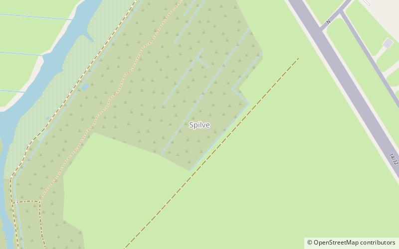
  • spilve riga location map
    2.1 miE
  • sia pik nik riga3 miS
  • imanta riga3.1 miS

Frequently Asked Questions (FAQ)

How to get to Kleisti by public transport?

The nearest stations to Kleisti:

Bus
  • Kleisti • Lines: 13 (15 min walk)
  • Spilves pļavas • Lines: 346, 36, 56 (19 min walk)

Where to next? Visit riga Riga region page or discover the top tourist attractions in Latvia.