Tell Zeitoun
Map
Facts and practical information
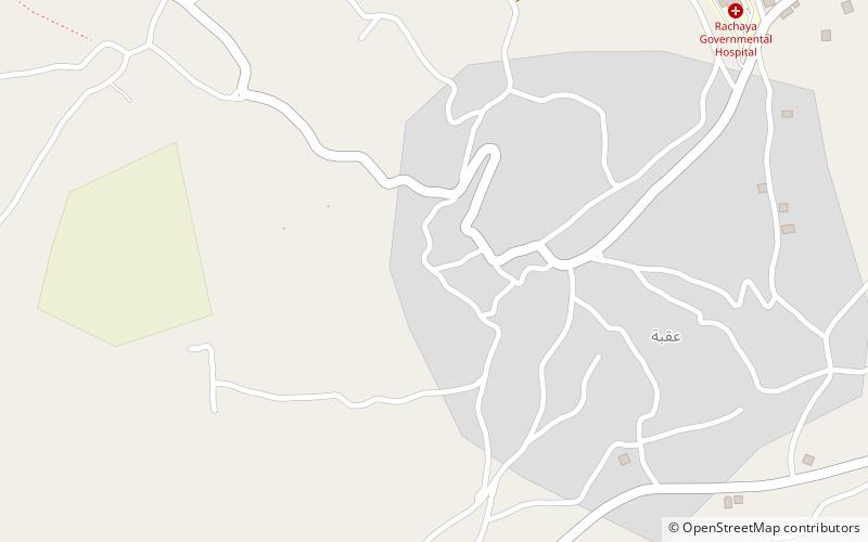
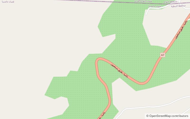
Tell Zeitoun also called Tell Dnaibe, is an archaeological site 8 kilometres southwest of Rashaya in Lebanon at an altitude of 900 metres. ()
Coordinates: 33°28'0"N, 35°43'60"E
Location
Nabatiyeh
ContactAdd
Social media
Add
Day trips