Nebi Safa

Gallery (1)
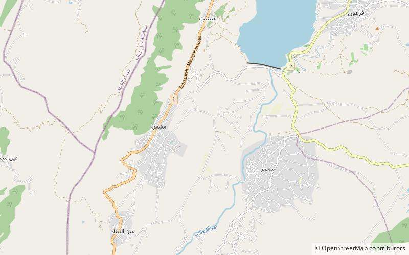
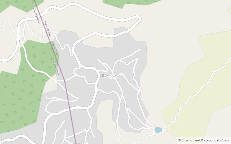
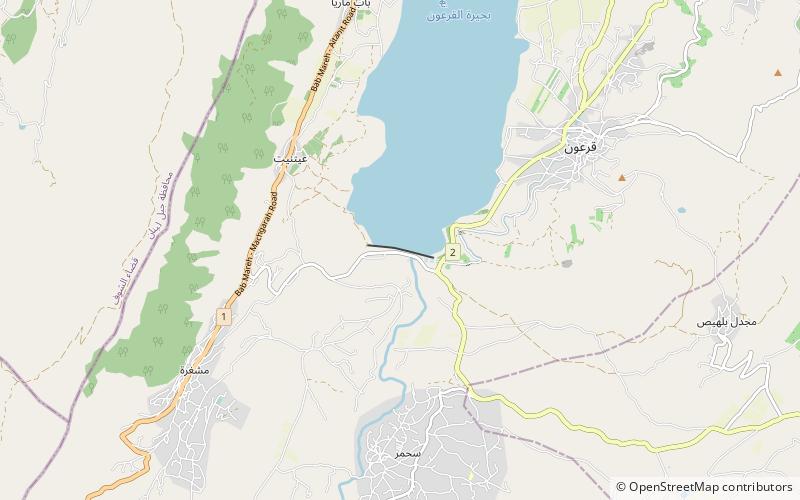
Map
Map
Facts and practical information
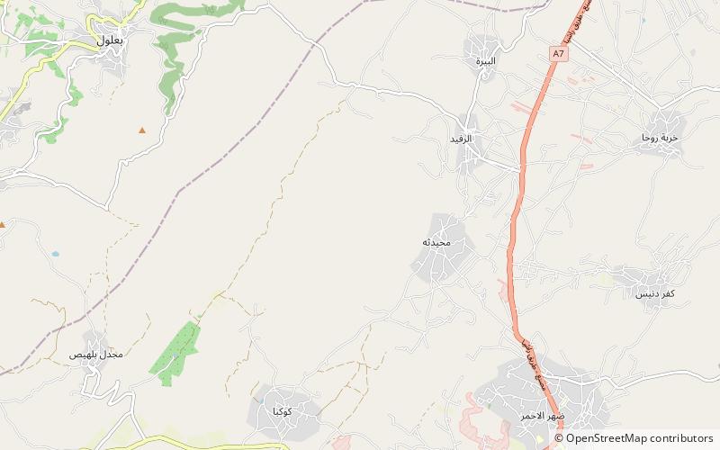
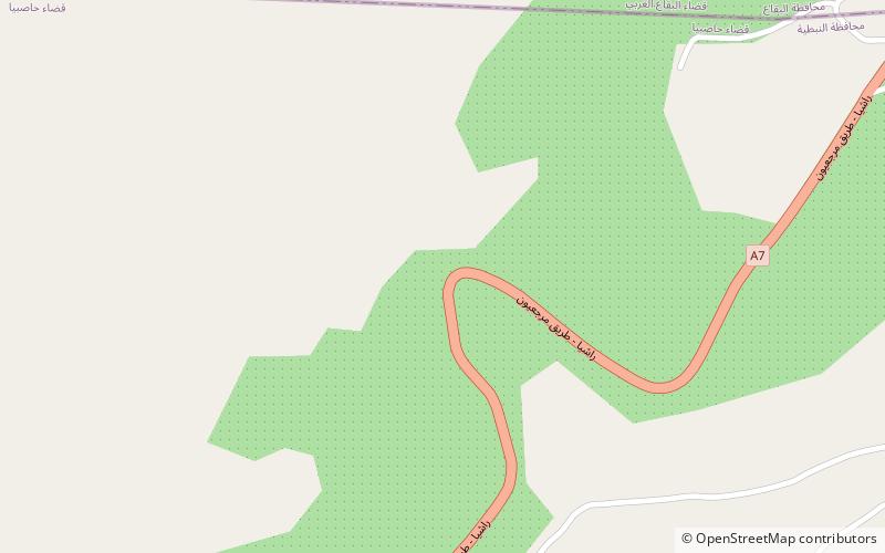
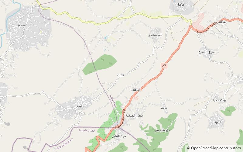
Nebi Safa, Nabi Safa, Neby Sufa, An Nabi Safa, An Nabi Safa' or En Nabi Safa also known as Mazraet Selsata or Thelthatha is a village in the Kfar Mishki municipality situated 13 kilometres west of Rashaya in the Rashaya District of the Beqaa Governorate in Lebanon. ()
Local name: النبي صفاCoordinates: 33°29'43"N, 35°44'50"E
Location
Bekaa
ContactAdd
Social media
Add
Day trips