Avenue General de Gaulle, Beirut
Map
Facts and practical information
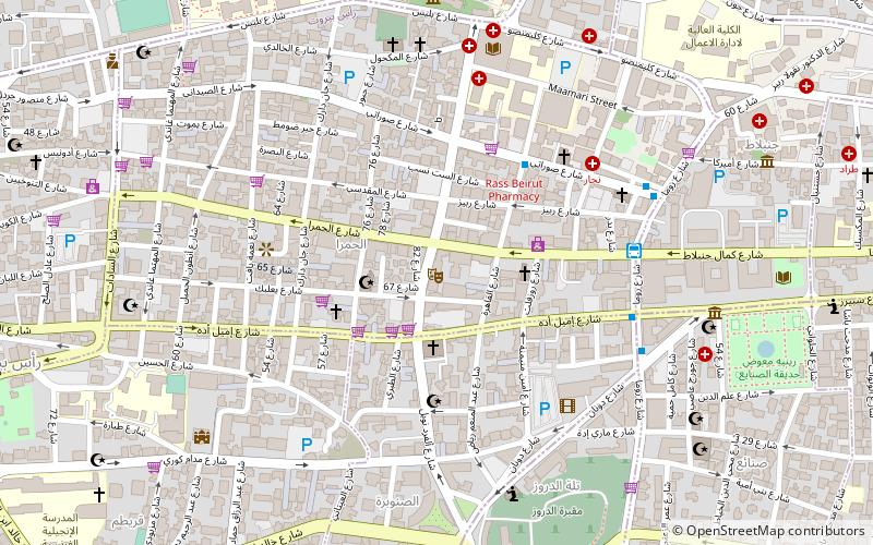
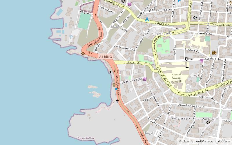
Avenue Général de Gaulle is a seaside, palm-lined street in Beirut, Lebanon. The avenue, which was named in honor of the French general and president Charles de Gaulle, forms with Avenue de Paris the Corniche Beirut promenade. The avenue runs north-south along the Mediterranean coast, from the Manara lighthouse where it connects to Avenue de Paris, skirting around the cliffs of Raouché and the Pigeons' Rocks, down to Boulevard Saeb Salam where it connects to Avenue Rafic Hariri at Ramlet al-Baida beach. ()
Address
Beirut
ContactAdd
Social media
Add
Day trips
Avenue General de Gaulle – popular in the area (distance from the attraction)
Nearby attractions include: Verdun, Corniche Beirut, Sanayeh Park, Archaeological Museum of the American University of Beirut.
Frequently Asked Questions (FAQ)
Which popular attractions are close to Avenue General de Gaulle?
Nearby attractions include Pigeon Rocks, Beirut (4 min walk), Lebanese American University, Beirut (11 min walk), Bliss Street, Beirut (16 min walk), Raouché, Beirut (16 min walk).
How to get to Avenue General de Gaulle by public transport?
The nearest stations to Avenue General de Gaulle:
Bus
Bus
- Hamra • Lines: 2 (18 min walk)
- بحري • Lines: 15 (20 min walk)


