Aach ed Djâjé
#83 among destinations in Lebanon
Facts and practical information
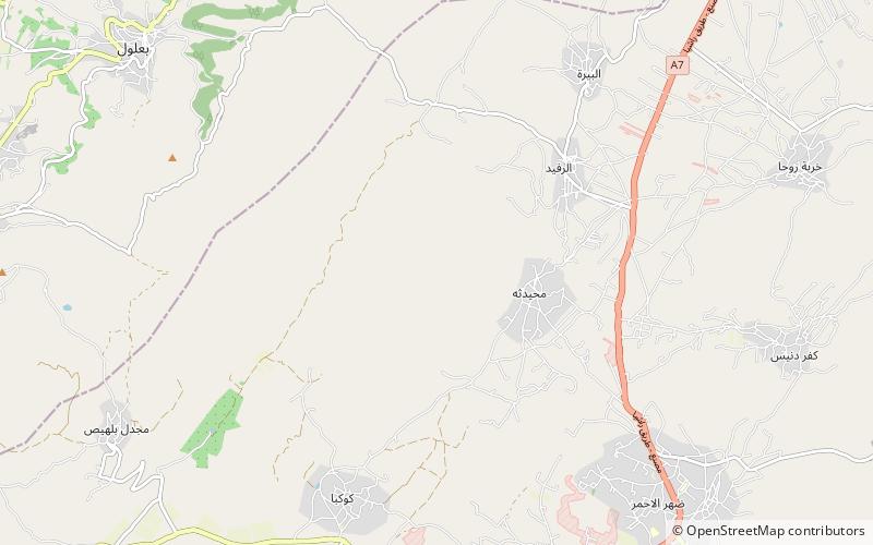
Aach ed Djâjé is a mountain of southwestern Lebanon. It has an elevation of 1,304 metres. ()
BekaaLebanon
Aach ed Djâjé – popular in the area (distance from the attraction)
Nearby attractions include: Rashaya Citadel, Joub Jannine, Mdoukha, Aaqbe.
 Forts and castles
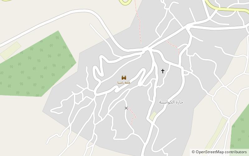
Rashaya Citadel, Aaiha
124 min walk • The Rashaya Citadel or Citadel of Independence is a national monument, in Lebanon. It was built as a palace by the Shihab family in the 18th century, was used by the French Mandate, and is now stationed by the Lebanese Armed Forces. It is a tourist site that can be visited while under the army's surveillance.
 Town, Archaeological site
Joub Jannine
121 min walk • Joub Jannine is located in the Beqaa Valley in Lebanon. Joub Jannine is the capital of West Beqaa. It is a town and the center of the Western Beqaa District, hosting the Serail, which is a main governmental building serving the area.
 Village, Archaeological site
Mdoukha
146 min walk • Mdoukha is a village and municipality situated 72 kilometres east of Beirut in the Rashaya District, Beqaa Governorate, Lebanon. The village's population is Sunni. A significant majority of the population are also Lebanese Canadians, of which 60% live in London, Ontario.
 Village, Archaeological site
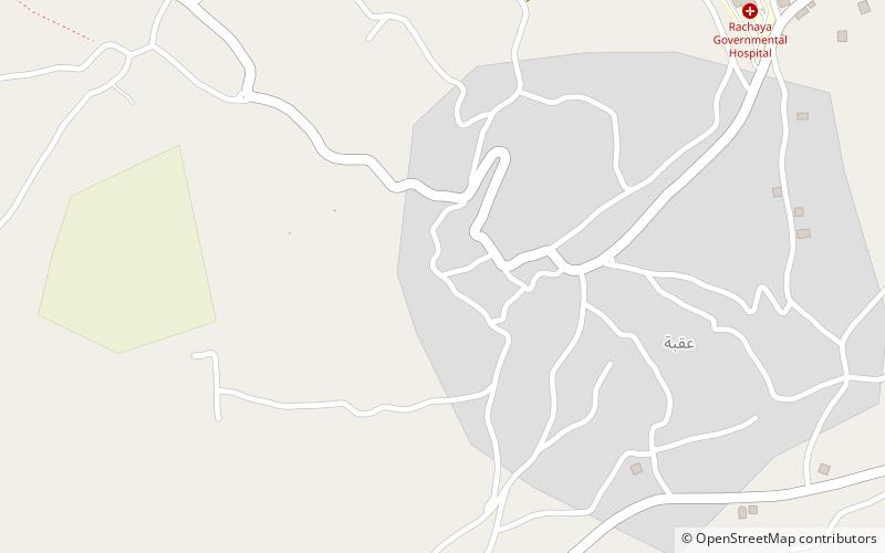
Aaqbe, Aaiha
102 min walk • Aaqbe, Akbeh, Aqbe, Akbe, Aaqabet, el-Aaqbe, Akraba, Aaqabet Rashaya or Akabe is a village and municipality situated 3 kilometres west of Rashaya in the Rashaya District of the Beqaa Governorate in Lebanon.
 Village, Archaeological site
Nebi Safa
133 min walk • Nebi Safa, Nabi Safa, Neby Sufa, An Nabi Safa, An Nabi Safa' or En Nabi Safa also known as Mazraet Selsata or Thelthatha is a village in the Kfar Mishki municipality situated 13 kilometres west of Rashaya in the Rashaya District of the Beqaa Governorate in Lebanon.
 Village, Archaeological site
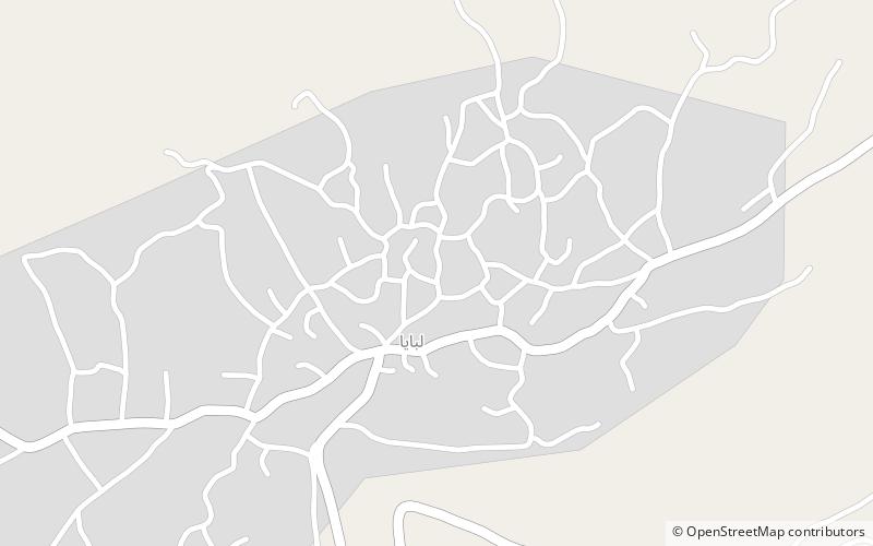
Libbaya
171 min walk • Libbaya is a village in the Beka'a Valley of Lebanon, situated in the Western Beqaa District of the Beqaa Governorate. It lies southeast of Sohmor. During the war in the 1980s, four Israeli Cobra helicopters backing the attacking force strafed Libbaya and nearby villages, killing a Lebanese soldier.
 Town
TownRashaya
124 min walk • Rashaya, Rachaya, Rashaiya, Rashayya or Rachaiya, also known as Rashaya al-Wadi or Rachaya el-Wadi, is a town of the Rashaya District in the west of the Beqaa Governorate of Lebanon.
 Village
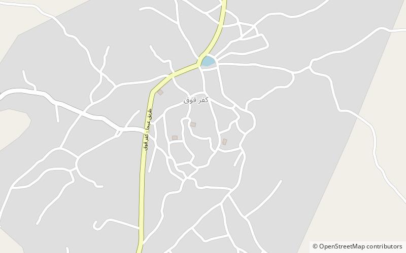
Kfar Qouq
149 min walk • Kfar Qouq is a village in Lebanon, situated in the Rashaya District and south of the Beqaa Governorate. It is located in an intermontane basin near Mount Hermon near the Syrian border, approximately halfway between Jezzine and Damascus.