Maloti-Drakensberg Park

Gallery (2)
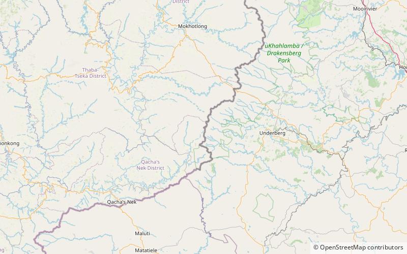
Map
Map
Gallery
Facts and practical information
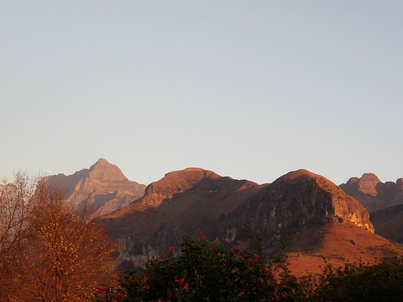
Maloti-Drakensberg Park was established on 11 June 2001 by linking the Sehlabathebe National Park in the Kingdom of Lesotho and the uKhahlamba Drakensberg Park in KwaZulu-Natal, South Africa. The highest peak is Thaba Ntlenyana rising to 3.482 m. ()
Alternative names: Unesco: from 2000Area: 962.6 mi²Elevation: 10525 ft a.s.l.Coordinates: 29°45'55"S, 29°7'23"E
Location
Qacha's Nek
ContactAdd
Social media
Add