Wadi Lebda Dam, Leptis Magna
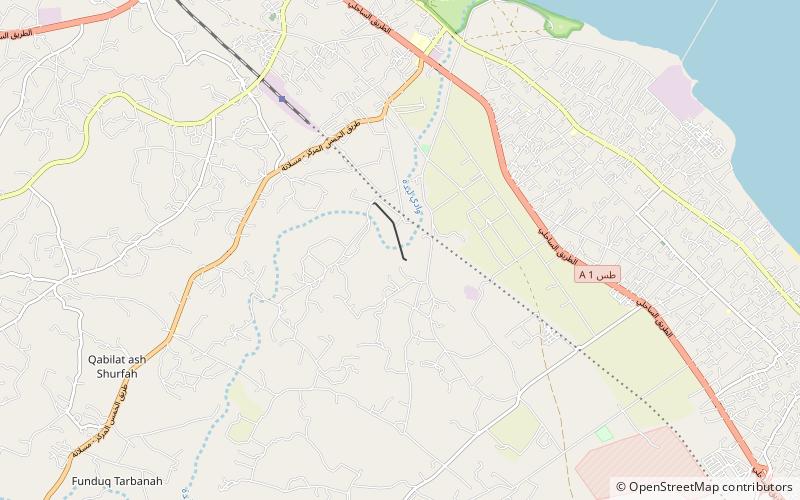
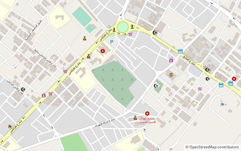
Map
Facts and practical information
The Wadi Lebda Dam is an embankment dam located on Wadi Lebda, 5 km south of Khoms in the Murqub District, Libya. Completed in 1982, the primary purpose of the dam is water supply for irrigation and flood control. ()
Local name: سد وادي لبدةOpened: 1982 (44 years ago)Height: 108 ftReservoir area: 7535 ft²Coordinates: 32°35'60"N, 14°16'55"E
Address
Leptis Magna
ContactAdd
Social media
Add
Day trips
Wadi Lebda Dam – popular in the area (distance from the attraction)
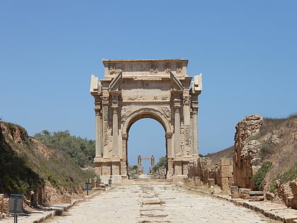
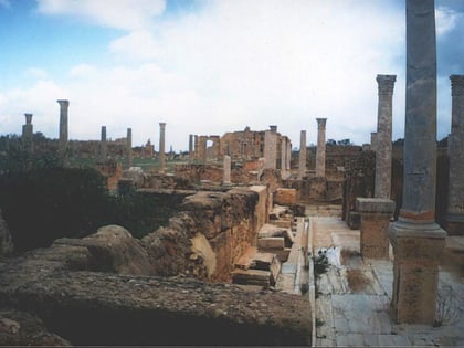
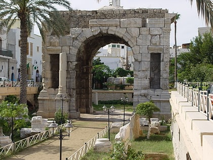
Nearby attractions include: The Arch of Septimius Severus in Leptis Magna, Lepcis Magna, Al-Khums, Arch of Marcus Aurelius.
