Lepcis Magna, Leptis Magna
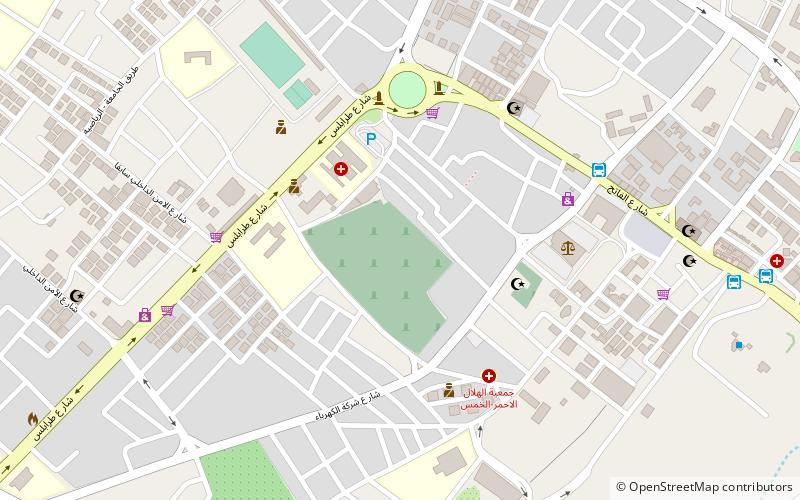
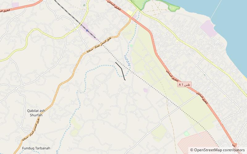
Map
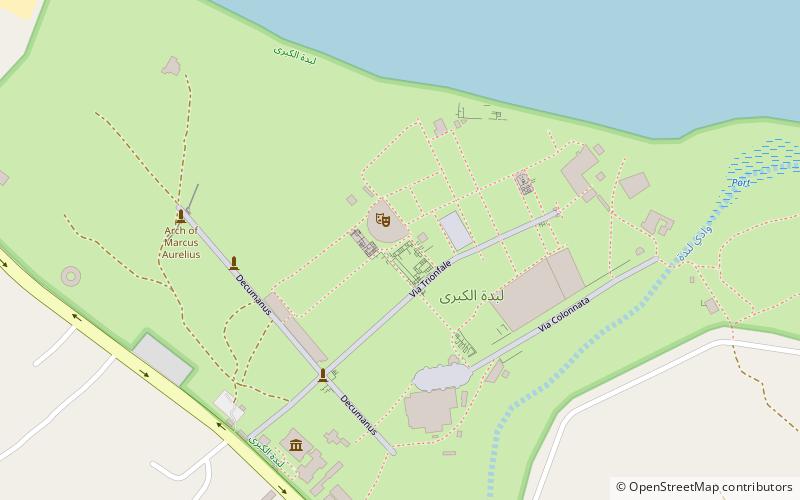
Map

Facts and practical information
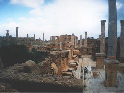
Leptis or Lepcis Magna, also known by other names in antiquity, was a prominent city of the Carthaginian Empire and Roman Libya at the mouth of the Wadi Lebda in the Mediterranean. ()
Alternative names: Built: 7 B.C.E.Abandoned: 7 A.D.Unesco: from 1982Area: 1.5 mi²Coordinates: 32°38'16"N, 14°17'27"E
Address
Leptis Magna
ContactAdd
Social media
Add
Day trips
Lepcis Magna – popular in the area (distance from the attraction)
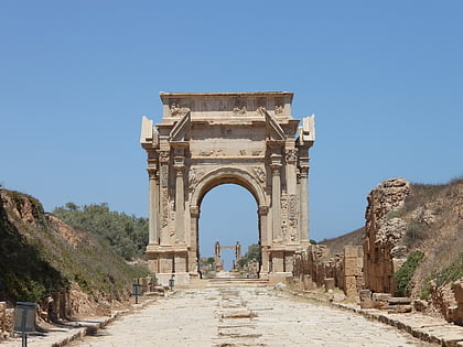
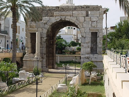
Nearby attractions include: The Arch of Septimius Severus in Leptis Magna, Al-Khums, Arch of Marcus Aurelius, Wadi Lebda Dam.
Frequently Asked Questions (FAQ)
Which popular attractions are close to Lepcis Magna?
Nearby attractions include The Arch of Septimius Severus in Leptis Magna, Leptis Magna (5 min walk), Arch of Marcus Aurelius, Leptis Magna (7 min walk).
