Rauher Berg
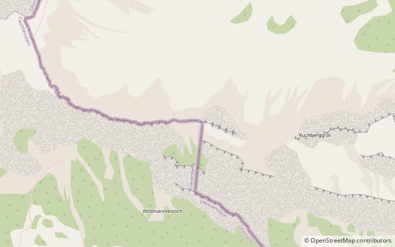
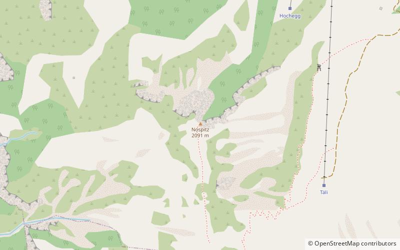
Map
Facts and practical information
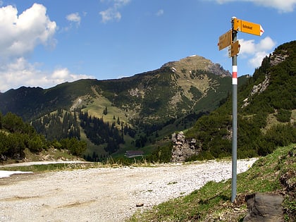
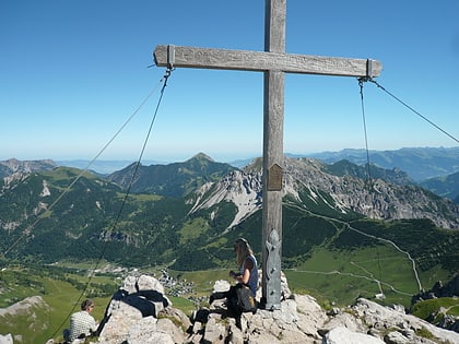
Rauher Berg is a mountain on the border of Liechtenstein and Austria in the Rätikon range of the Eastern Alps, close to the town of Malbun, with a height of 2,094 metres. ()
Location
Triesenberg
ContactAdd
Social media
Add
Day trips
Rauher Berg – popular in the area (distance from the attraction)
Nearby attractions include: Galinakopf, Augstenberg, Schönberg, Silberhorn.
