Sarojahöhe
#31 among destinations in Liechtenstein
![Sarojahöhe location map](https://tzmedia.b-cdn.net/media/images/static-maps/li/47_1908_9_5725.jpg)
Facts and practical information
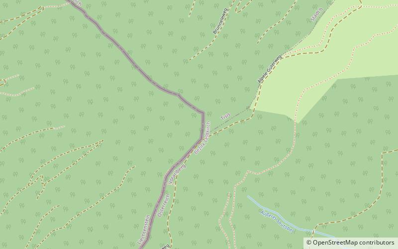
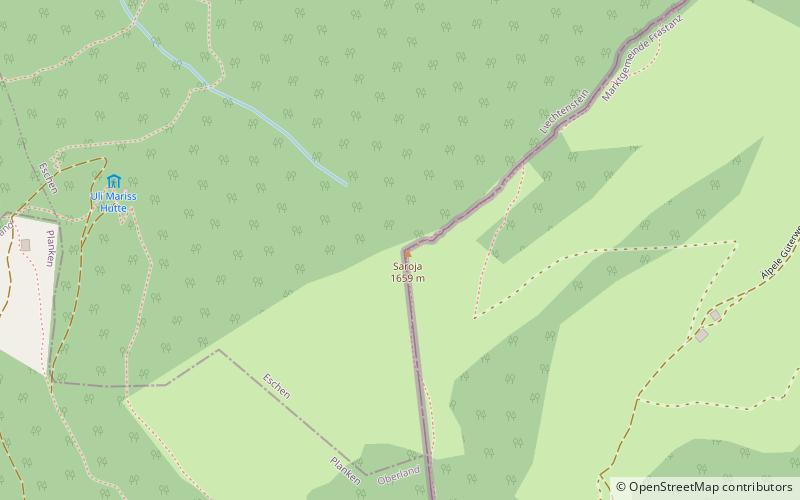
Sarojahöhe or Saroja is a mountain on the border of Liechtenstein and Austria in the Rätikon range of the Eastern Alps to the east of the village of Planken, with a height of 1,659 metres. ()
EschenLiechtenstein
Sarojahöhe plan & book
Unleash the traveler in you — discover the cheapest flight deals, find the perfect hotel or hostel nearby, and search for the best car rental prices. Travel at your own pace to discover new places and enjoy your journey.
Sarojahöhe – popular in the area (distance from the attraction)
Nearby attractions include: Galinakopf, Obere Burg, Kuhgrat, Russian Monument.
3.5 miSENature, Natural attraction, MountainGalinakopf
90 min walk • Galinakopf is a mountain on the border of Austria and Liechtenstein in the Rätikon range of the Eastern Alps, with a height of 2,198 metres.
3 miNHistorical place, Forts and castlesObere Burg, Schellenberg
77 min walk • Obere Burg, also known colloquially as Burg Neu-Schellenberg, is a castle ruin located in the municipality of Schellenberg, Liechtenstein. It lies at the western edge of Hinterschloss, one of the burroughs in the village of Neu-Schellenberg. It is freely open to tourists.
1.8 miSNature, Natural attraction, MountainKuhgrat
45 min walk • Kuhgrat is the highest of a group of three peaks known as the Drei Schwestern which between them form part of the Austria-Liechtenstein border. It reaches a height of 2,123 metres.
3.5 miNMonuments and statues, MemorialRussian Monument, Schellenberg
91 min walk • The Russian Monument is a small memorial stone in the hamlet of Hinterschellenberg, Liechtenstein.
3 miSNature, Natural attraction, MountainAlpspitz
78 min walk • Alpspitz is a mountain in Liechtenstein in the Rätikon range of the Eastern Alps, to the east of Vaduz, with a height of 1,943 metres or 1942 m.
3.8 miNWNature, Natural attraction, LakeGampriner Seele
97 min walk • Gampriner Seele is the only lake in Liechtenstein. It was created by a flood of the Rhine River with enormous erosion in 1927. The lake lies at 435 metres above Sea Level in the village of Bendern–Gamprin.
3.2 miNWForts and castlesUntere Burg, Schellenberg
83 min walk • Untere Burg, also known colloquially as Burg Alt-Schellenberg, is a castle ruin located in the municipality of Schellenberg, Liechtenstein.
3.3 miSWRuins of a 12th-century castle on a hillSchalun Castle
85 min walk • Schalun Castle, also known colloquially as Wildschloss, is a castle ruin located in the municipality of Vaduz, Liechtenstein. It lies in the mountains, roughly 1 kilometer to the northeast from the town centre of Vaduz, the capital of Liechtenstein.
1.5 miSNature, Natural attraction, MountainGarsellakopf
38 min walk • Garsellakopf is a mountain on the border of Liechtenstein and Austria in the Rätikon range of the Eastern Alps to the east of the town of Schaan, with a height of 2,105 metres.
3 miSNature, Natural attraction, MountainHelwangspitz
76 min walk • Helwangspitz is a mountain in Liechtenstein in the Rätikon range of the Eastern Alps, to the east of Vaduz, with a height of 1,999 metres / or 2000 m.
1.1 miNENature, Natural attraction, MountainMaurerberg
29 min walk • Maurerberg or Mauerer Berg is a mountain on the border of Liechtenstein and Austria in the Rätikon range of the Eastern Alps to the southeast of the town of Schaanwald, with a height of 1,378 metres.