Freizeitpark Widau, Ruggell
#1 among attractions in Ruggell
Facts and practical information
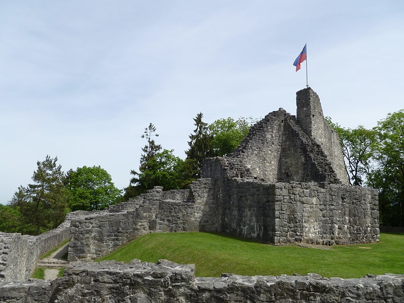
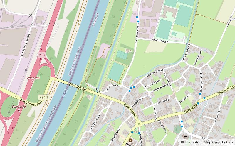
Freizeitpark Widau is a football stadium in Ruggell, Liechtenstein. It is the home ground of FC Ruggell and has a capacity of 500. ()
Ruggell Liechtenstein
Freizeitpark Widau – popular in the area (distance from the attraction)
Nearby attractions include: Obere Burg, Kuhgrat, Russian Monument, Gampriner Seele.
1.6 miSEHistorical place, Forts and castlesObere Burg, Schellenberg
42 min walk • Obere Burg, also known colloquially as Burg Neu-Schellenberg, is a castle ruin located in the municipality of Schellenberg, Liechtenstein. It lies at the western edge of Hinterschloss, one of the burroughs in the village of Neu-Schellenberg. It is freely open to tourists.
5.6 miSNature, Natural attraction, MountainKuhgrat
144 min walk • Kuhgrat is the highest of a group of three peaks known as the Drei Schwestern which between them form part of the Austria-Liechtenstein border. It reaches a height of 2,123 metres.
1.8 miEMonuments and statues, MemorialRussian Monument, Schellenberg
46 min walk • The Russian Monument is a small memorial stone in the hamlet of Hinterschellenberg, Liechtenstein.
1.5 miSWNature, Natural attraction, LakeGampriner Seele
38 min walk • Gampriner Seele is the only lake in Liechtenstein. It was created by a flood of the Rhine River with enormous erosion in 1927. The lake lies at 435 metres above Sea Level in the village of Bendern–Gamprin.
1.2 miSEForts and castlesUntere Burg, Schellenberg
30 min walk • Untere Burg, also known colloquially as Burg Alt-Schellenberg, is a castle ruin located in the municipality of Schellenberg, Liechtenstein.
5.5 miSNature, Natural attraction, MountainGarsellakopf
139 min walk • Garsellakopf is a mountain on the border of Liechtenstein and Austria in the Rätikon range of the Eastern Alps to the east of the town of Schaan, with a height of 2,105 metres.
3.9 miSENature, Natural attraction, MountainMaurerberg
101 min walk • Maurerberg or Mauerer Berg is a mountain on the border of Liechtenstein and Austria in the Rätikon range of the Eastern Alps to the southeast of the town of Schaanwald, with a height of 1,378 metres.
1.4 miSENeighbourhoodUnterland, Schellenberg
35 min walk • Unterland, meaning "lower land", is one of the two electoral districts of Liechtenstein. The district's administrative seat is the town of Schellenberg, due to its historical existence as the Lordship of Schellenberg. It has 10 seats in the Landtag.
4.7 miSENature, Natural attraction, MountainSattelköpfle
119 min walk • Sattelköpfle is a mountain in on the border of Liechtenstein and Austria in the Rätikon range of the Eastern Alps to the east of the village of Planken, with a height of 1,688 metres.
1.6 miNEBridgeSpiersbachbrücke
41 min walk • The Spiersbach Bridge is a stone arch bridge over the Spiersbach River on the border between Liechtenstein and Austria. The bridge is located between the village of Bangs in the Nofels district of the municipality of Feldkirch and the municipality...
4.3 miSENature, Natural attraction, MountainSarojahöhe
111 min walk • Sarojahöhe or Saroja is a mountain on the border of Liechtenstein and Austria in the Rätikon range of the Eastern Alps to the east of the village of Planken, with a height of 1,659 metres.