Ladakalnis, Aukštaitija National Park
Map
Map

Facts and practical information
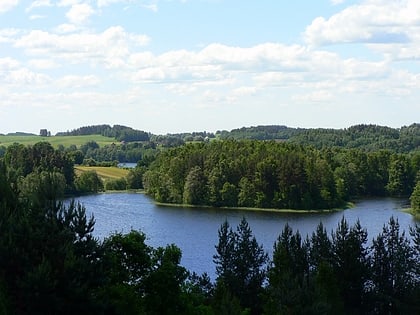
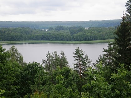
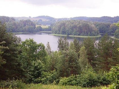
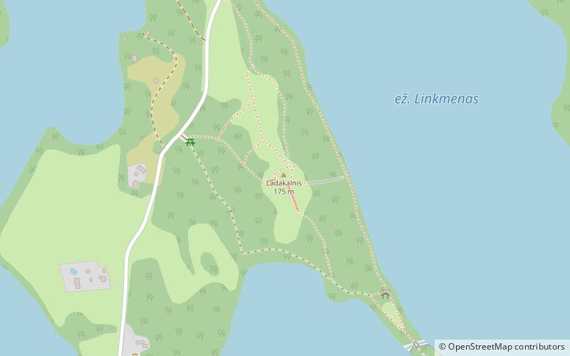
Ladakalnis is located in the village of Ignalina, between the Lakes of the Own and Linkmen, in the village of Papiliakalnė, in Aukštaitija National Park. It is a 176 m high mountain, a geomorphological nature monument.
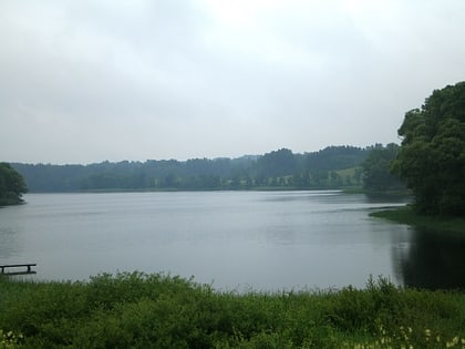
There are as many as 6 lakes from the mountain: farm, Linkmen, Pakas, Asėkas, Alksnaitis, and Alksnas. There is a custom to carry pebbles to the top of the mountain and leave the oak growing at the top.
Coordinates: 55°21'59"N, 25°59'26"E
Address
Aukštaitija National Park
ContactAdd
Social media
Add
Day trips
Ladakalnis – popular in the area (distance from the attraction)
Nearby attractions include: Linkmenas, Tauragnas, Alksnaitis, Lithuanian Museum of Ancient Beekeeping.
Frequently Asked Questions (FAQ)
Which popular attractions are close to Ladakalnis?
Nearby attractions include Linkmenas, Aukštaitija National Park (7 min walk), Ūkojas, Aukštaitija National Park (19 min walk), Alksnaitis, Aukštaitija National Park (20 min walk).
