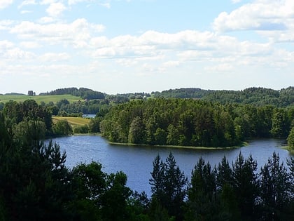
Šakarvai, Aukštaitija National Park
Map
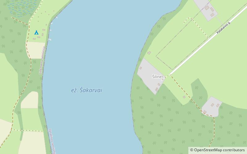
Map

Facts and practical information
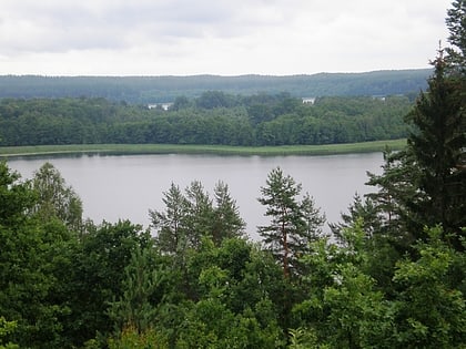
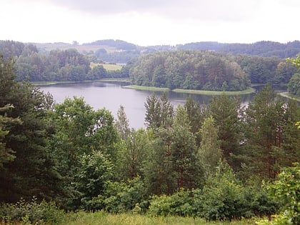
Šakarvai Lake is in the Ignalina district of eastern Lithuania, Aukštaitija National Park, about 2.5 kilometres southwest of Palūšė village. The lake connects with Lake Lūšiai and Lake Žeimenys. ()
Alternative names: Length: 7218 ftWidth: 1640 ftMaximum depth: 131 ftElevation: 449 ft a.s.l.Coordinates: 55°19'9"N, 26°3'39"E
Address
Aukštaitija National Park
ContactAdd
Social media
Add
Day trips
Šakarvai – popular in the area (distance from the attraction)
Nearby attractions include: Ignalina regional gymnasium, Linkmenas, Alksnaitis, Gavys.

