Plateliai Lake, Žemaitija National Park
Map

Map

Facts and practical information
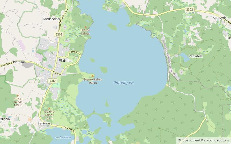
Lake Plateliai is the biggest lake in Samogitia and 9th biggest in Lithuania. It is the central attraction in the Žemaitija National Park. It covers about 12 km² and reaches up to 49 m in depth. It has seven islands, one of them housed a castle and now is called Castle Island. Archeologists found remains of two castles and think it might be the Queen Bona castle. The lake has both diving and yacht clubs. Plateliai town is located on the west bank of the lake. ()
Local name: Platelių ežeras Area: 4.65 mi²Maximum depth: 161 ftElevation: 469 ft a.s.l.Coordinates: 56°2'34"N, 21°51'11"E
Address
Žemaitija National Park
ContactAdd
Social media
Add
Day trips
Plateliai Lake – popular in the area (distance from the attraction)
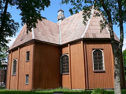
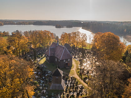
Nearby attractions include: Church of St. Peter and St. Paul, Church of St. Stanislaus the Bishop, Museum of Cold War, Raganos uosis.


