Raganos uosis, Žemaitija National Park

Gallery (1)
Map
Map
Facts and practical information
Raganos uosis is a place located in Žemaitija National Park (Telšiai county) and belongs to the category of tree.
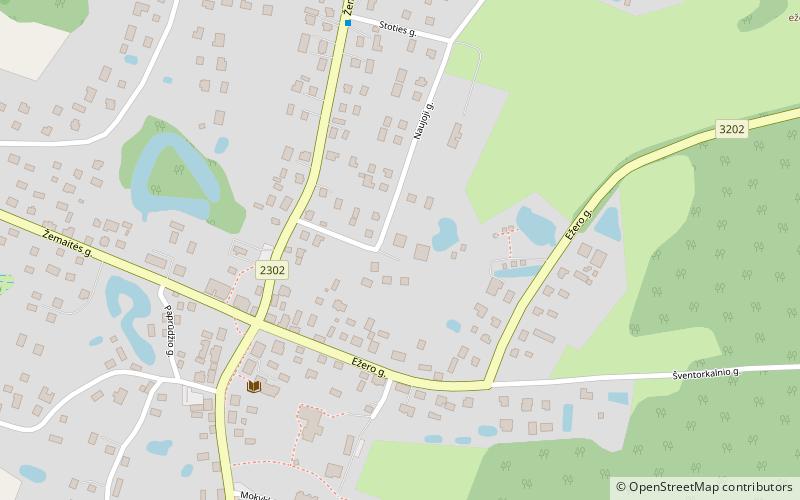
It is situated at an altitude of 541 feet, and its geographical coordinates are 56°2'19"N latitude and 21°48'58"E longitude.
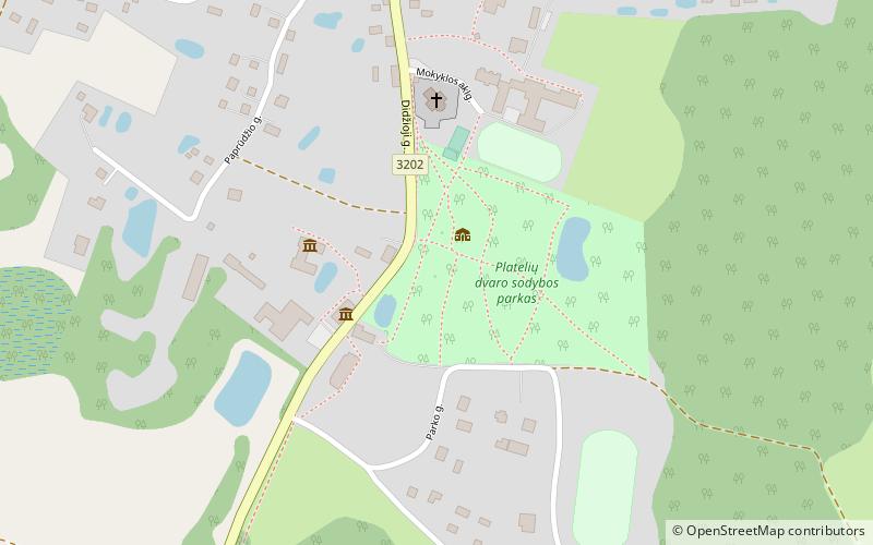
Among other places and attractions worth visiting in the area are: Church of St. Peter and St. Paul (church, 4 min walk), Plateliai (locality, 10 min walk), Church of St. Stanislaus the Bishop (church, 24 min walk).
Coordinates: 56°2'19"N, 21°48'58"E
Address
Žemaitija National Park
ContactAdd
Social media
Add
Day trips