Gavys

Gallery (2)
Map
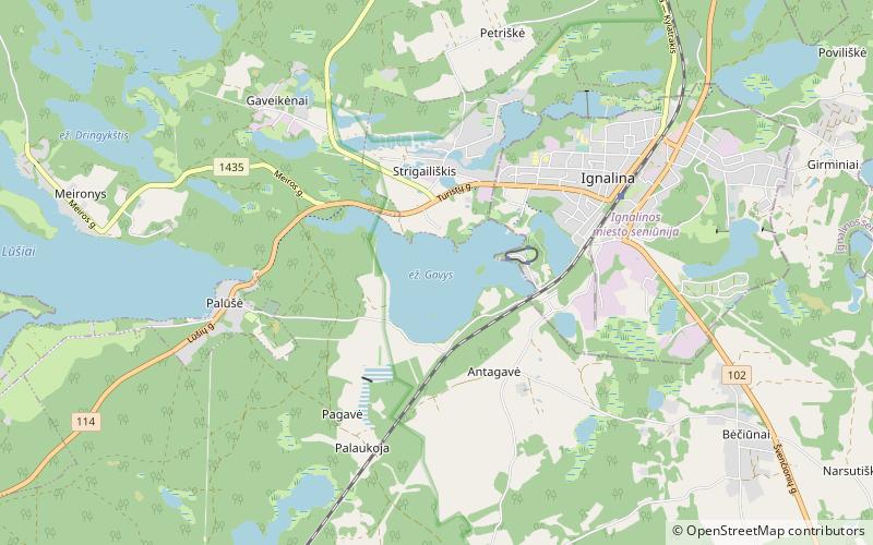
Map
Gallery
Facts and practical information
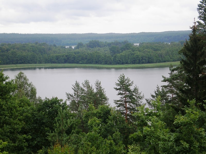
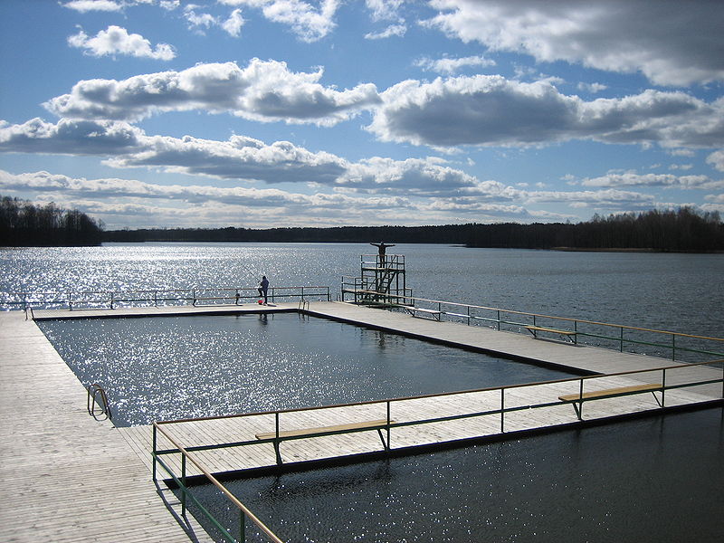
Gavys - lake in eastern Lithuania, Ignalina district, about 2 km southwest of Ignalina. The western part of the lake edge Aukštaitija National Park. Gavys lake length 1.9 cm, width 1.2 km. Depth up to 56 m. ()
Alternative names: Length: 4.72 miMaximum depth: 184 ftElevation: 495 ft a.s.l.Coordinates: 55°19'53"N, 26°8'4"E
Location
Utenos
ContactAdd
Social media
Add
Day trips