Trek Zone

Medžių Lajų Takas, Anykščiai

#4 among attractions in Anykščiai

Trail, Bridge
Medžių Lajų Takas

Facts and practical information

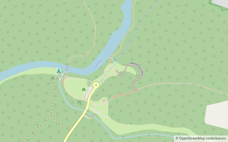
Medžių Lajų Takas (address: Dvaronių kaimas 5) is a place located in Anykščiai (Utenos county) and belongs to the category of trail, bridge.

It is situated at an altitude of 282 feet, and its geographical coordinates are 55°29'8"N latitude and 25°3'37"E longitude.

Among other places and attractions worth visiting in the area are: Puntukas (memorial, 3 min walk), Karalienės liūnas (nature, 11 min walk), Anykščiai Church (church, 79 min walk).

Coordinates: 55°29'8"N, 25°3'37"E
Address

Dvaronių kaimas 5Anykščiai Lithuania

Contact
+370 684 53736
Social media
Add

Anykščiai plan & book

Unleash the traveler in you — discover the cheapest flight deals, find the perfect hotel or hostel nearby, and search for the best car rental prices. Travel at your own pace to discover new places and enjoy your journey.

Day trips

Medžių Lajų Takas – popular in the area (distance from the attraction)

Nearby attractions include: Anykščiai Church, Puntukas, Anykščių Šv. Aleksandro Neviškio cerkvė, Anykščiai Regional Park.

  • anyksciai church3.1 miNE
  • puntukas anyksciai~500 ftS
  • anyksciu sv aleksandro neviskio cerkve3.8 miNE
  • anyksciai regional park3.5 miNE
  • anyksciu menu inkubatorius menu studija anyksciai3.8 miNE
  • karalienes liunas0.4 miN
  • zazumbrio azuolas5 miNE

Where to next? Visit utenos Utenos region page or discover the top tourist attractions in Lithuania.