Paneriai, Vilnius

Map
Facts and practical information
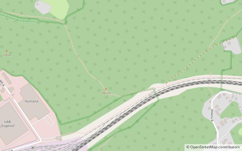
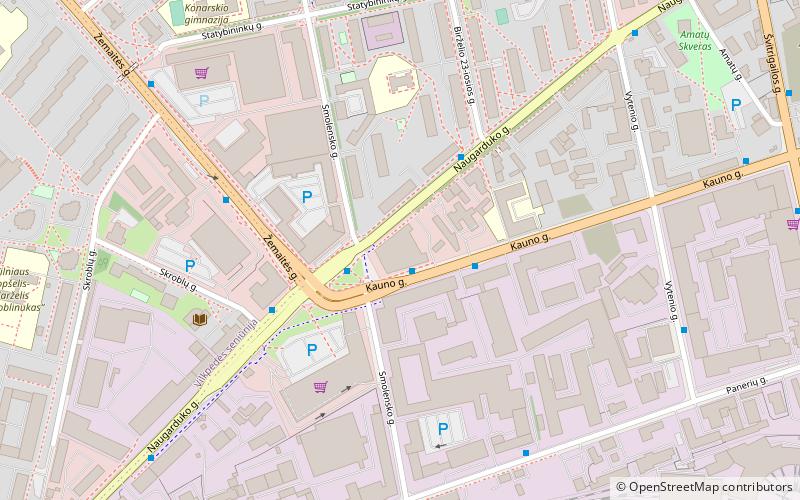
Aukštieji Paneriai is a neighborhood of Vilnius, situated about 10 kilometres away from the city center. It is the largest elderate in the Vilnius city municipality. It is located on low forested hills, on the Vilnius-Warsaw road. Paneriai was the site of the Ponary massacre, a mass killing of as many as 100,000 people from Vilnius and nearby towns and villages during World War II. ()
Address
PaneriaiVilnius
ContactAdd
Social media
Add
Day trips
Paneriai – popular in the area (distance from the attraction)
Nearby attractions include: Vilnius TV Tower, Church of St. Stephen, Church of St. Constantine and St. Michael, Vilna Gaon Jewish State Museum.
Frequently Asked Questions (FAQ)
How to get to Paneriai by public transport?
The nearest stations to Paneriai:
Bus
Trolleybus
Train
Bus
- Zuikių st. • Lines: 9 (9 min walk)
- Fizikos institutas • Lines: 20, 25, 51, 62, 8 (15 min walk)
Trolleybus
- Valkininkų st. • Lines: 12, 13, 15, 18, 4, 6 (19 min walk)
- Jankiškių st. • Lines: 15, 18 (18 min walk)
Train
- Paneriai (19 min walk)


