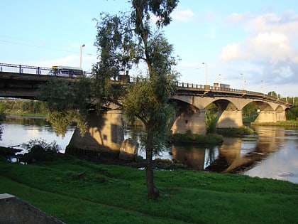
Šančiai, Kaunas
Map
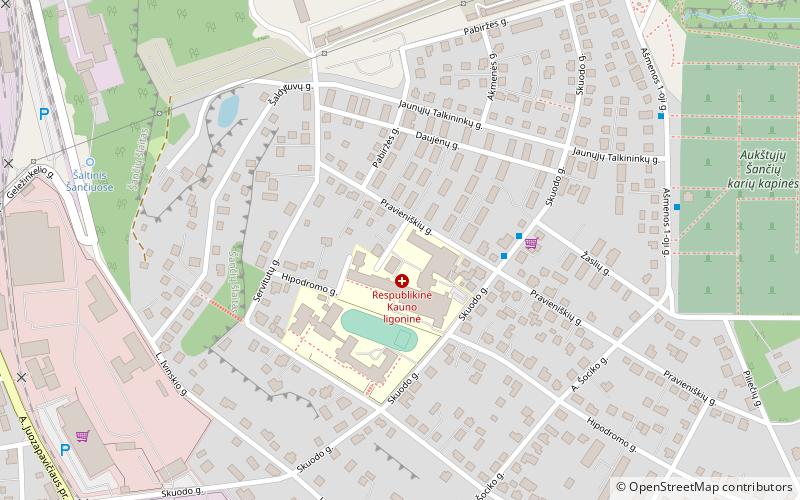
Map

Facts and practical information
Šančiai is an elderate in the Lithuanian city of Kaunas. It is located on the meandering right bank of the Nemunas River. Šančiai itself are divided into Žemieji Šančiai and Aukštieji Šančiai neighborhoods. Names come from their adjacent locations. Žemieji Šančiai is located on the Nemunas river valey, while Aukštieji Šančiai is located on the hill above the valley. Its entire elderate population of 2007 was 23,237. ()
Address
Kaunas
ContactAdd
Social media
Add
Day trips
Šančiai – popular in the area (distance from the attraction)
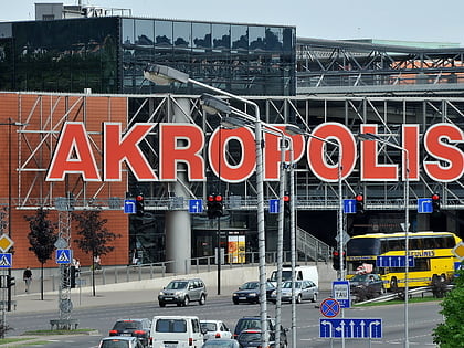
Nearby attractions include: Žalgirio arena, Akropolis, Ramybė Park, Church of the Most Sacred Heart of Jesus.
Frequently Asked Questions (FAQ)
Which popular attractions are close to Šančiai?
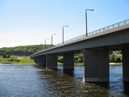
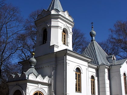
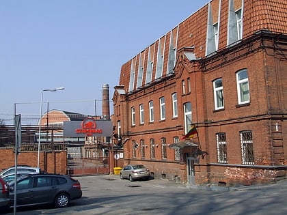
Nearby attractions include Church of the Most Sacred Heart of Jesus, Kaunas (14 min walk), Railway Bridge, Kaunas (19 min walk), M. K. Čiurlionis Bridge, Kaunas (21 min walk), Stumbras Museum, Kaunas (23 min walk).
How to get to Šančiai by public transport?
The nearest stations to Šančiai:
Bus
Trolleybus
Train
Bus
- Kauno ligoninė • Lines: 42, 6A (3 min walk)
- Karių kapinės • Lines: 42, 6A (7 min walk)
Trolleybus
- Gelezinkelio street • Lines: 1, 4 (10 min walk)
- Clinic of Sanciai • Lines: 1, 4 (12 min walk)
Train
- Kaunas (18 min walk)

