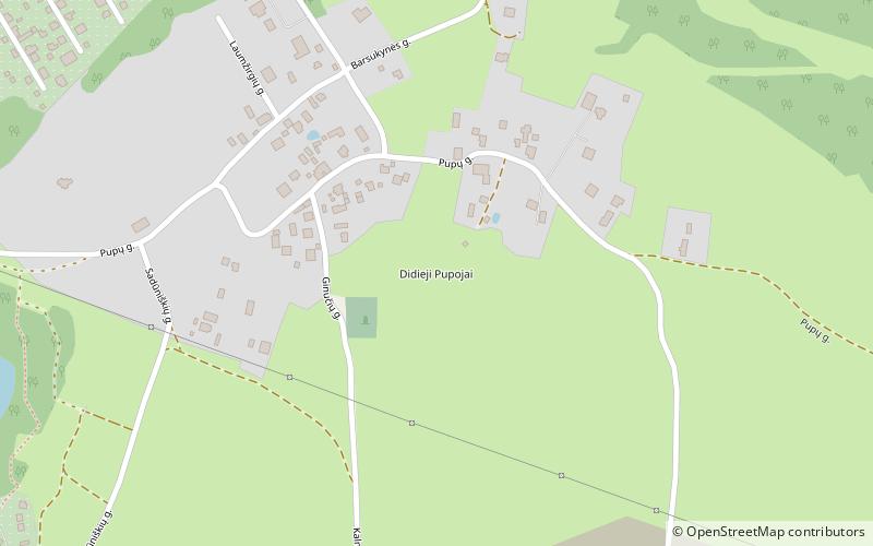
Didieji Pupojai, Vilnius
Map

Map

Facts and practical information
Didieji Pupojai is a neighbourhood of Vilnius located in the Antakalnis Eldership. It is situated northeast from the city center and east of Antakalnis. It borders Dvarčionys from the north, Kalnai and Mileišiškės from the southwest, Rokantiškės from the south and Mažieji Pupojai from the southeast. ()
Coordinates: 54°42'53"N, 25°23'30"E
Address
AntakalnisVilnius
ContactAdd
Social media
Add
Day trips
Didieji Pupojai – popular in the area (distance from the attraction)
Nearby attractions include: Church of St. Casimir, Naujoji Vilnia, Dvarčionys, Kalnai.
Frequently Asked Questions (FAQ)
How to get to Didieji Pupojai by public transport?
The nearest stations to Didieji Pupojai:
Bus
Bus
- Duburio st. • Lines: 115 (14 min walk)
- Uosių sodai • Lines: 115 (14 min walk)


