Vilnius city municipality building, Vilnius
Map

Map

Facts and practical information
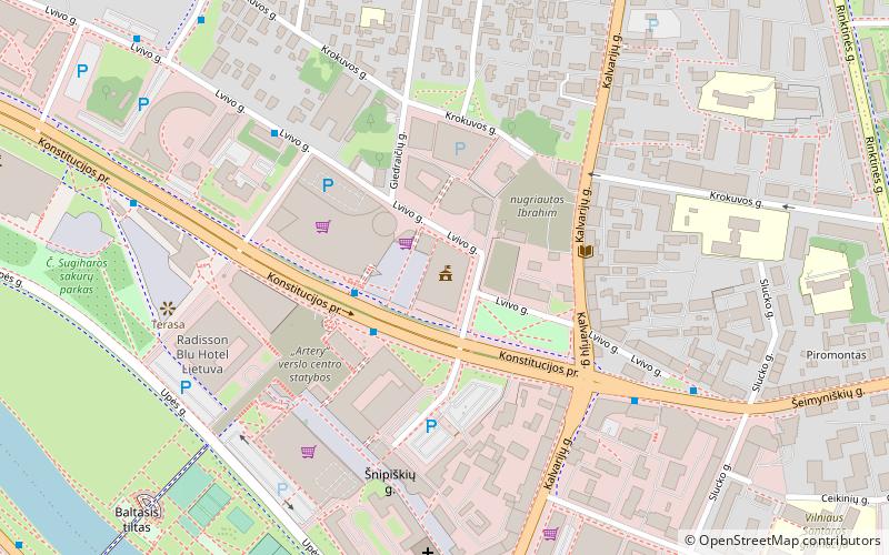
Vilnius City Municipality Building is located on Konstitucijos Avenue, Vilnius. The building was completed and opened in 2004. In the past, Municipal Departments and Divisions were scattered throughout the capital. Now they are concentrated in the new center of the Municipality, which has improved the service of the city residents and the working conditions of the municipal employees. ()
Coordinates: 54°41'45"N, 25°16'45"E
Day trips
Vilnius city municipality building – popular in the area (distance from the attraction)
Nearby attractions include: Raduškevičius Palace, National Museum of Lithuania, Museum of Genocide Victims, Palace of the Grand Dukes of Lithuania.
Frequently Asked Questions (FAQ)
Which popular attractions are close to Vilnius city municipality building?
Nearby attractions include Europa Tower, Vilnius (2 min walk), Church of St. Raphael the Archangel, Vilnius (6 min walk), Raduškevičius Palace, Vilnius (7 min walk), Konstitucijos Avenue, Vilnius (7 min walk).
How to get to Vilnius city municipality building by public transport?
The nearest stations to Vilnius city municipality building:
Bus
Trolleybus
Bus
- Europos aikštė • Lines: 30, 3G, 43, 46, 4G, 52, 56, 88, 88N, 89 (2 min walk)
- Lvovo st. • Lines: 200, 27, 37, 4G, 6G, 89 (5 min walk)
Trolleybus
- Europos aikštė • Lines: 19, 9 (3 min walk)
- Lvovo st. • Lines: 12, 14, 19, 9 (5 min walk)


